 |
|
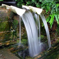
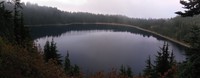
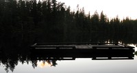
over designed water(jpg)
Google GeoTrack Maps Earth (.kmz) Nearby Pictures
Sat 08/13/11
 |
|
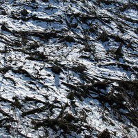
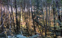
snowy logged hill(jpg)
Google GeoTrack Maps Earth (.kmz) Nearby Pictures
Wed 04/02/08
 |
|
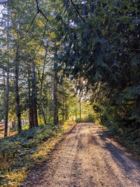
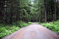
road from Baldy Hill(jpg)
Google GeoTrack Maps Earth (.kmz) Nearby Pictures
Fri 09/08/23
 |
|
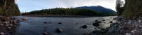
White River at Federation Forest(jpg)
Google GeoTrack Maps Earth (.kmz) Nearby Pictures
Sat 10/06/18
 |
|
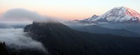
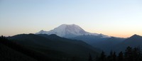
Mount Rainier from Pinnacle Peak(jpg)
Google GeoTrack Maps Earth (.kmz) Nearby Pictures
Tue 03/23/10
 |
|
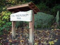
Pinnacle Peak trail(jpg)
Google GeoTrack Maps Earth (.kmz) Nearby Pictures
Fri 10/26/07
 |
|
Pinnacle Peak trail(jpg)
Google GeoTrack Maps Earth (.kmz) Nearby Pictures
Fri 10/26/07
 |
|
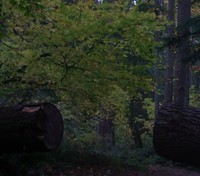
Pinnacle Peak tree(jpg)
Google GeoTrack Maps Earth (.kmz) Nearby Pictures
Fri 10/26/07
 |
|
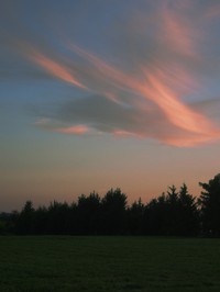
sunset sky(jpg)
Google GeoTrack Maps Earth (.kmz) Nearby Pictures
Fri 08/24/07
 |
|
sunset bushes(jpg)
Google GeoTrack Maps Earth (.kmz) Nearby Pictures
Sun 09/20/20
 |
|
moon over Enumclaw and Mt Rainier(jpg)
Google GeoTrack Maps Earth (.kmz) Nearby Pictures
Fri 08/24/07
 |
|
trees(jpg)
Google GeoTrack Maps Earth (.kmz) Nearby Pictures
Sun 03/17/24
 |
|
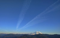
Mt Rainier jet trails(jpg)
Google GeoTrack Maps Earth (.kmz) Nearby Pictures
Mon 05/22/17
 |
|
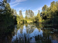
a pond near Enumclaw(jpg)
Google GeoTrack Maps Earth (.kmz) Nearby Pictures
Sun 07/24/22
 |
|
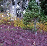
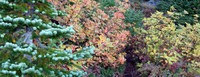
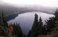
Summit Lake colors(jpg)
Google GeoTrack Maps Earth (.kmz) Nearby Pictures
Wed 09/09/15
 |
|
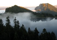
Summit Lake under Bearhead and Rainier(jpg)
Google GeoTrack Maps Earth (.kmz) Nearby Pictures
Wed 09/09/15
 |
|
Summit Lake colors(jpg)
Google GeoTrack Maps Earth (.kmz) Nearby Pictures
Wed 09/09/15
 |
|
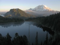
Summit Lake and Bearhead Mountain(jpg)
Google GeoTrack Maps Earth (.kmz) Nearby Pictures
Wed 09/09/15
Summit Lake(jpg)
Google GeoTrack Maps Earth (.kmz) Nearby Pictures
Wed 09/09/15
 |
|
Summit Lake(jpg)
Google GeoTrack Maps Earth (.kmz) Nearby Pictures
Wed 09/09/15
 |
|
Mount Rainier and its shadow(jpg)
Google GeoTrack Maps Earth (.kmz) Nearby Pictures
Wed 09/09/15
 |
|
northern sunset from above Summit Lake(jpg)
Google GeoTrack Maps Earth (.kmz) Nearby Pictures
Wed 09/09/15
 |
|
Summit Lake(jpg)
Google GeoTrack Maps Earth (.kmz) Nearby Pictures
Wed 09/09/15
 |
|
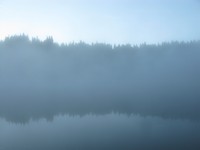
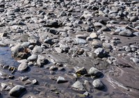
milky water(jpg)
Google GeoTrack Maps Earth (.kmz) Nearby Pictures
Wed 09/16/20
 |
|
milky water(jpg)
Google GeoTrack Maps Earth (.kmz) Nearby Pictures
Wed 09/16/20
 |
|
Summit Lake(jpg)
Google GeoTrack Maps Earth (.kmz) Nearby Pictures
Wed 09/09/15
 |
|
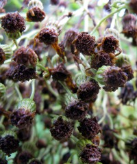
end of the season(jpg)
Google GeoTrack Maps Earth (.kmz) Nearby Pictures
Sun 09/20/20
 |
|
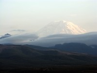
Mt Rainier from near Enumclaw(jpg)
Google GeoTrack Maps Earth (.kmz) Nearby Pictures
Wed 04/02/08
 |
|
Mt Rainier from near Enumclaw(jpg)
Google GeoTrack Maps Earth (.kmz) Nearby Pictures
Sat 04/19/08
 |
|
Twin Lake nautilus(jpg)
Google GeoTrack Maps Earth (.kmz) Nearby Pictures
Wed 09/09/15
 |
|
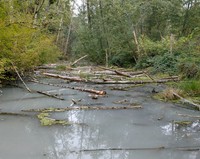
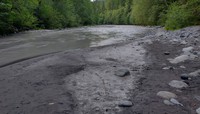
White River near Buckley(jpg)
Google GeoTrack Maps Earth (.kmz) Nearby Pictures
Sun 07/24/22
 |
|
Deep Lake(jpg)
Google GeoTrack Maps Earth (.kmz) Nearby Pictures
Sat 06/23/12
 |
|
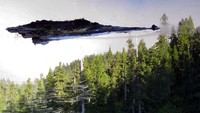
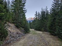
Mt Rainier from northern FS road(jpg)
Google GeoTrack Maps Earth (.kmz) Nearby Pictures
Sat 10/03/15
 |
|
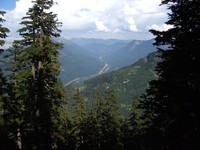
I90 from McClellan Butte trail(jpg)
Google GeoTrack Maps Earth (.kmz) Nearby Pictures
Sun 08/05/07
 |
|
Carbon River(jpg)
Google GeoTrack Maps Earth (.kmz) Nearby Pictures
Sat 08/13/22
 |
|
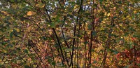
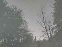
AP Tubbs Rd trees(jpg)
Google GeoTrack Maps Earth (.kmz) Nearby Pictures
Sun 08/07/22
 |
|
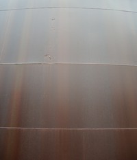
Tacoma water tank(jpg)
Google GeoTrack Maps Earth (.kmz) Nearby Pictures
Sun 07/22/07
 |
|
logged log stack(jpg)
Google GeoTrack Maps Earth (.kmz) Nearby Pictures
Sat 11/01/08
 |
|
Ipsut Creek Road(jpg)
Google GeoTrack Maps Earth (.kmz) Nearby Pictures
Sun 07/01/07
 |
|
Rainier from Pack Trail(jpg)
Google GeoTrack Maps Earth (.kmz) Nearby Pictures
Fri 08/11/23