 |
|
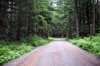
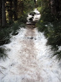
Ipsut Creek Road(jpg)
Google GeoTrack Maps Earth (.kmz) Nearby Pictures
Sun 07/01/07
 |
|
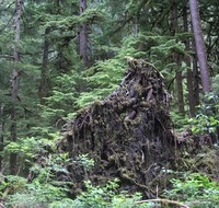
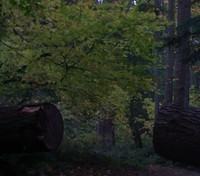
under the tree(jpg)
Google GeoTrack Maps Earth (.kmz) Nearby Pictures
Sun 07/01/07
 |
|
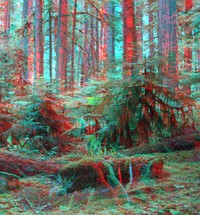
Ipsut Creek Road stereo(jpg)
Google GeoTrack Maps Earth (.kmz) Nearby Pictures
Sun 07/01/07
 |
|
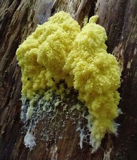
Wash that tree(jpg)
Google GeoTrack Maps Earth (.kmz) Nearby Pictures
Sat 08/22/20
 |
|
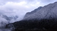
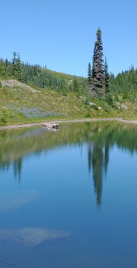
Carbon River hills snowy dusk(jpg)
Google GeoTrack Maps Earth (.kmz) Nearby Pictures
Sat 03/01/08
 |
|
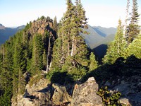
top of Florence Peak(jpg)
Google GeoTrack Maps Earth (.kmz) Nearby Pictures
Sun 09/27/15
 |
|
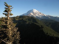
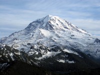
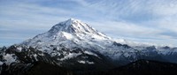
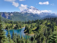
Mt Rainier from Florence Peak(jpg)
Google GeoTrack Maps Earth (.kmz) Nearby Pictures
Sun 09/27/15
 |
|
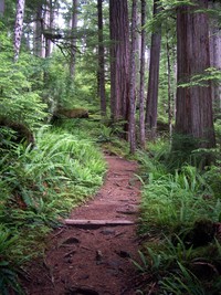
Green Lake trail(jpg)
Google GeoTrack Maps Earth (.kmz) Nearby Pictures
Sun 07/01/07
 |
|
Green Lake trailhead(jpg)
Google GeoTrack Maps Earth (.kmz) Nearby Pictures
Sun 07/01/07
 |
|
Green Lake(jpg)
Google GeoTrack Maps Earth (.kmz) Nearby Pictures
Sun 07/01/07
 |
|
Green Lake trail(jpg)
Google GeoTrack Maps Earth (.kmz) Nearby Pictures
Sun 07/01/07
 |
|
Green Lake trail(jpg)
Google GeoTrack Maps Earth (.kmz) Nearby Pictures
Sun 07/01/07
 |
|
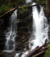
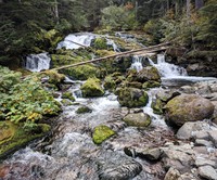
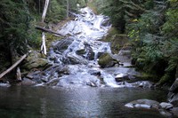
Ranger Falls(jpg)
Google GeoTrack Maps Earth (.kmz) Nearby Pictures
Sun 07/01/07
 |
|
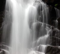
Ranger Falls(jpg)
Google GeoTrack Maps Earth (.kmz) Nearby Pictures
Sun 07/01/07
 |
|
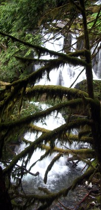
Ranger Falls(jpg)
Google GeoTrack Maps Earth (.kmz) Nearby Pictures
Sun 07/01/07
 |
|
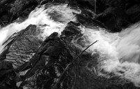
Ranger Falls(jpg)
Google GeoTrack Maps Earth (.kmz) Nearby Pictures
Sun 07/01/07
the camera sees reality(jpg)
Google GeoTrack Maps Earth (.kmz) Nearby Pictures
Wed 08/26/20
 |
|
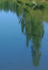
creepy when big Easter Island when small(jpg)
Google GeoTrack Maps Earth (.kmz) Nearby Pictures
Wed 08/26/20
 |
|
pleasant lake west of and far below Tolmie Peak(jpg)
Google GeoTrack Maps Earth (.kmz) Nearby Pictures
Wed 08/26/20
 |
|
distant hills from Tolmie Peak(jpg)
Google GeoTrack Maps Earth (.kmz) Nearby Pictures
Sat 10/11/08
 |
|
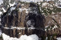
rock wall from Tolmie Peak(jpg)
Google GeoTrack Maps Earth (.kmz) Nearby Pictures
Sat 10/11/08
 |
|
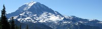
Mount Rainier from Tolmie Peak(jpg)
Google GeoTrack Maps Earth (.kmz) Nearby Pictures
Sat 10/11/08
 |
|
Tolmie Peak lookout(jpg)
Google GeoTrack Maps Earth (.kmz) Nearby Pictures
Sat 10/11/08
 |
|
Mount Rainier from Tolmie Peak(jpg)
Google GeoTrack Maps Earth (.kmz) Nearby Pictures
Sat 10/11/08
 |
|
Mount Rainier from Tolmie Peak(jpg)
Google GeoTrack Maps Earth (.kmz) Nearby Pictures
Wed 08/26/20
 |
|
Tolmie Peak trail(jpg)
Google GeoTrack Maps Earth (.kmz) Nearby Pictures
Sat 10/11/08
 |
|
Mount Rainier and Eunice Lake(jpg)
Google GeoTrack Maps Earth (.kmz) Nearby Pictures
Wed 08/26/20
 |
|
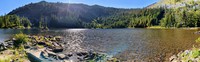
Surprise Lake(jpg)
Google GeoTrack Maps Earth (.kmz) Nearby Pictures
Fri 07/14/23
 |
|
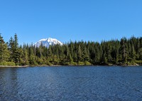
Surprise Lake in front of Mt Rainier(jpg)
Google GeoTrack Maps Earth (.kmz) Nearby Pictures
Fri 07/14/23
 |
|
near Eunice Lake(jpg)
Google GeoTrack Maps Earth (.kmz) Nearby Pictures
Sat 10/11/08
 |
|
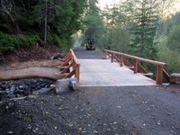
new bridge on way to Ipsut Creek(jpg)
Google GeoTrack Maps Earth (.kmz) Nearby Pictures
Sun 10/04/15
 |
|
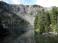
Eunice Lake(jpg)
Google GeoTrack Maps Earth (.kmz) Nearby Pictures
Sat 10/11/08
 |
|
Upper Fairfax bridge over Carbon River(jpg)
Google GeoTrack Maps Earth (.kmz) Nearby Pictures
Sat 08/13/22
 |
|
Pinnacle Peak trail(jpg)
Google GeoTrack Maps Earth (.kmz) Nearby Pictures
Fri 10/26/07
 |
|
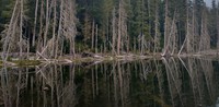
East Lake(jpg)
Google GeoTrack Maps Earth (.kmz) Nearby Pictures
Wed 09/16/20
 |
|
Carbon River Camp nearby creek(jpg)
Google GeoTrack Maps Earth (.kmz) Nearby Pictures
Sun 10/16/22
 |
|
Chenuis Falls dry water(jpg)
Google GeoTrack Maps Earth (.kmz) Nearby Pictures
Sun 10/04/15
 |
|
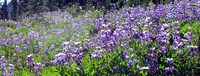
wildflowers at Eunice Lake(jpg)
Google GeoTrack Maps Earth (.kmz) Nearby Pictures
Wed 08/26/20
 |
|
Chenuis Falls(jpg)
Google GeoTrack Maps Earth (.kmz) Nearby Pictures
Sun 10/04/15
 |
|
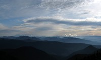
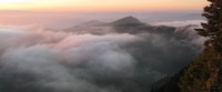
northern sunset from above Summit Lake(jpg)
Google GeoTrack Maps Earth (.kmz) Nearby Pictures
Wed 09/09/15