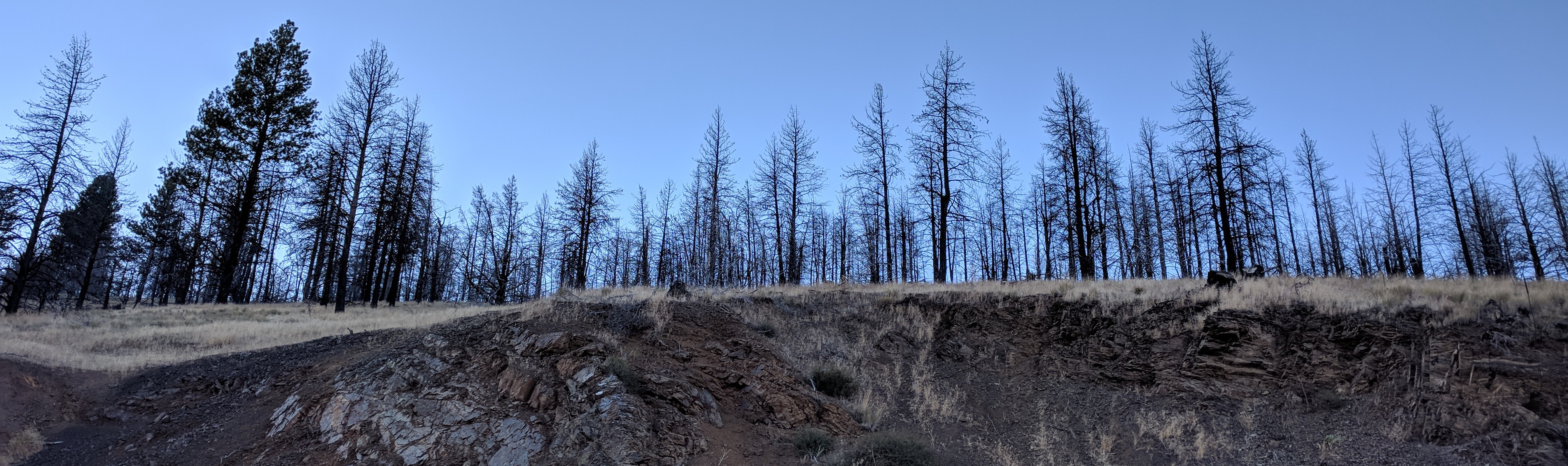
trees on hill along John Day Burns highway(jpg)
Google GeoTrack
Maps
Earth (.kmz)
Nearby Pictures
Tue 09/24/19 lat=44.279069 lon=-118.968356 --- 44 16' 44.650" N 118 58' 6.080" W --- 1324 meters : 4343 feet
Previous
Next
Close-ish
All Pictures