 |
|
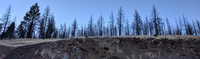
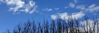
trees on hill along John Day Burns highway(jpg)
Google GeoTrack Maps Earth (.kmz) Nearby Pictures
Tue 09/24/19
 |
|
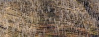
trees on hill along John Day Burns highway(jpg)
Google GeoTrack Maps Earth (.kmz) Nearby Pictures
Tue 09/24/19
 |
|
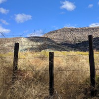
fence along John Day Highway(jpg)
Google GeoTrack Maps Earth (.kmz) Nearby Pictures
Tue 09/24/19
 |
|
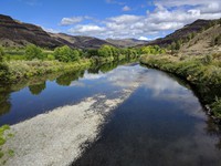
North Fork John Day River(jpg)
Google GeoTrack Maps Earth (.kmz) Nearby Pictures
Tue 09/24/19
 |
|
madcro max line(jpg)
Google Maps Earth (.kmz) Nearby Pictures
Thu 09/11/08
 |
|
round barn(jpg)
Google Maps Earth (.kmz) Nearby Pictures
Thu 09/11/08
 |
|
towering flowering(jpg)
Google Maps Earth (.kmz) Nearby Pictures
Tue 06/20/23
 |
|
dotted trees(jpg)
Google GeoTrack Maps Earth (.kmz) Nearby Pictures
Tue 06/20/23
 |
|
rock pattern(jpg)
Google GeoTrack Maps Earth (.kmz) Nearby Pictures
Tue 06/20/23
 |
|
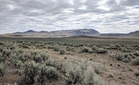
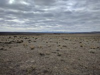
desert hills(jpg)
Google Maps Earth (.kmz) Nearby Pictures
Thu 04/15/21
 |
|
Crooked River(jpg)
Google GeoTrack Maps Earth (.kmz) Nearby Pictures
Tue 06/20/23
 |
|
closed(jpg)
Google Maps Earth (.kmz) Nearby Pictures
Wed 06/10/15
 |
|
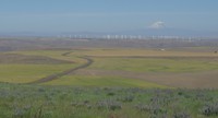
eastern Oregon(jpg)
Google Maps Earth (.kmz) Nearby Pictures
Thu 06/11/15
 |
|
Snake River below Brownlee Dam 01 over time(jpg)
Google GeoTrack Maps Earth (.kmz) Nearby Pictures
Tue 04/27/21
 |
|
Hells Canyon tree(jpg)
Google GeoTrack Maps Earth (.kmz) Nearby Pictures
Tue 04/27/21
 |
|
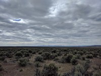
distant Oregon hills(jpg)
Google GeoTrack Maps Earth (.kmz) Nearby Pictures
Thu 04/15/21
 |
|
distant Oregon hills(jpg)
Google GeoTrack Maps Earth (.kmz) Nearby Pictures
Thu 04/15/21
 |
|
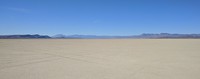
Alvord Desert(jpg)
Google Maps Earth (.kmz) Nearby Pictures
Wed 09/25/19
 |
|
Deep Creek Trail(jpg)
Google GeoTrack Maps Earth (.kmz) Nearby Pictures
Tue 04/27/21
 |
|
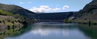
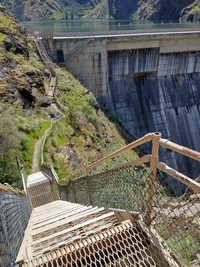
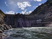
Hells Canyon Dam(jpg)
Google GeoTrack Maps Earth (.kmz) Nearby Pictures
Tue 04/27/21
 |
|
Hells Canyon Dam 03 warped over time(jpg)
Google GeoTrack Maps Earth (.kmz) Nearby Pictures
Tue 04/27/21
 |
|
Sister under a cloud(jpg)
Google Maps Earth (.kmz) Nearby Pictures
Fri 07/02/10
 |
|
eastern gorge(jpg)
Google GeoTrack Maps Earth (.kmz) Nearby Pictures
Wed 04/14/21
 |
|
silver barn(jpg)
Google GeoTrack Maps Earth (.kmz) Nearby Pictures
Sat 08/08/09
 |
|
looking west to the mountain(jpg)
Google GeoTrack Maps Earth (.kmz) Nearby Pictures
Wed 04/14/21
 |
|
Lake Abert sunset(jpg)
Google GeoTrack Maps Earth (.kmz) Nearby Pictures
Sat 10/05/19
 |
|
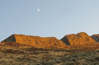
moon east of Lake Abert(jpg)
Google GeoTrack Maps Earth (.kmz) Nearby Pictures
Sat 10/05/19
 |
|
No Top Mountain(jpg)
Google GeoTrack Maps Earth (.kmz) Nearby Pictures
Mon 06/19/23
 |
|
Gorge from above McCall Point(jpg)
Google GeoTrack Maps Earth (.kmz) Nearby Pictures
Sun 09/18/16
 |
|
burnt to the clouds(jpg)
Google GeoTrack Maps Earth (.kmz) Nearby Pictures
Sun 09/18/16
 |
|
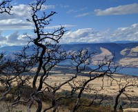
burnt to the gorge(jpg)
Google GeoTrack Maps Earth (.kmz) Nearby Pictures
Sun 09/18/16
 |
|
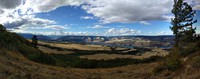
the gorge from McCall Point(jpg)
Google GeoTrack Maps Earth (.kmz) Nearby Pictures
Sun 09/18/16
 |
|
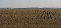
wheat field eastern washington(jpg)
Google Maps Earth (.kmz) Nearby Pictures
Sun 06/14/15
 |
|
Crater Lake under dark sky(jpg)
Google GeoTrack Maps Earth (.kmz) Nearby Pictures
Thu 07/01/10
 |
|
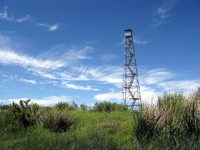
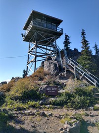
Odell Butte fire station(jpg)
Google GeoTrack Maps Earth (.kmz) Nearby Pictures
Wed 10/06/21
 |
|
Scott graduation Scott Imani hard hat(jpg)
Google GeoTrack Maps Earth (.kmz) Nearby Pictures
Sat 12/08/07
 |
|
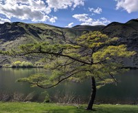
Helen McCabe State Park lake(jpg)
Google GeoTrack Maps Earth (.kmz) Nearby Pictures
Sun 06/05/11
 |
|
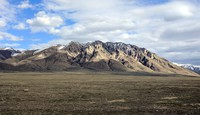
desert hills(jpg)
Google Maps Earth (.kmz) Nearby Pictures
Thu 04/15/21
 |
|
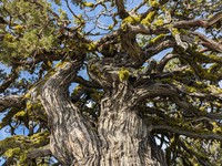
complicated tree(jpg)
Google Maps Earth (.kmz) Nearby Pictures
Tue 06/20/23
Beacon Rock trail(jpg)
Google GeoTrack Maps Earth (.kmz) Nearby Pictures
Thu 06/11/15