 |
|
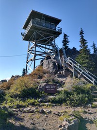
Odell Butte fire station(jpg)
Google GeoTrack Maps Earth (.kmz) Nearby Pictures
Wed 10/06/21
 |
|
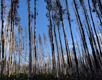
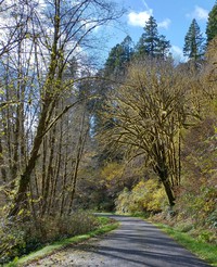
tall trees(jpg)
Google GeoTrack Maps Earth (.kmz) Nearby Pictures
Wed 10/06/21
 |
|
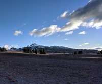
looking up Mount Mazama(jpg)
Google GeoTrack Maps Earth (.kmz) Nearby Pictures
Wed 10/06/21
 |
|
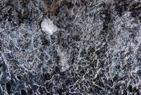
thin ice(jpg)
Google GeoTrack Maps Earth (.kmz) Nearby Pictures
Wed 10/06/21
looking north from Mount Mazama(jpg)
Google GeoTrack Maps Earth (.kmz) Nearby Pictures
Wed 10/06/21
 |
|
Wizard Island(jpg)
Google GeoTrack Maps Earth (.kmz) Nearby Pictures
Thu 07/01/10
 |
|
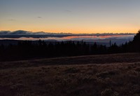
darkness comes(jpg)
Google GeoTrack Maps Earth (.kmz) Nearby Pictures
Wed 10/06/21
 |
|
Crater Lake under dark sky(jpg)
Google GeoTrack Maps Earth (.kmz) Nearby Pictures
Thu 07/01/10
 |
|
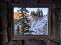
Crater Lake Sinnott Overlook window(jpg)
Google GeoTrack Maps Earth (.kmz) Nearby Pictures
Wed 10/06/21
 |
|
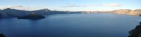
wide Crater Lake(jpg)
Google GeoTrack Maps Earth (.kmz) Nearby Pictures
Wed 10/06/21
 |
|
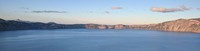
wide Crater Lake(jpg)
Google GeoTrack Maps Earth (.kmz) Nearby Pictures
Wed 10/06/21
 |
|
chairs at Crater Lake(jpg)
Google GeoTrack Maps Earth (.kmz) Nearby Pictures
Thu 07/01/10
 |
|
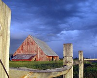
K Falls barn(jpg)
Google GeoTrack Maps Earth (.kmz) Nearby Pictures
Tue 06/09/15
 |
|
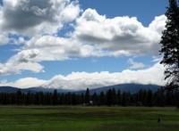
Sister under a cloud(jpg)
Google Maps Earth (.kmz) Nearby Pictures
Fri 07/02/10
 |
|
towering flowering(jpg)
Google Maps Earth (.kmz) Nearby Pictures
Tue 06/20/23
 |
|
rock pattern(jpg)
Google GeoTrack Maps Earth (.kmz) Nearby Pictures
Tue 06/20/23
 |
|
dotted trees(jpg)
Google GeoTrack Maps Earth (.kmz) Nearby Pictures
Tue 06/20/23
 |
|
Crooked River(jpg)
Google GeoTrack Maps Earth (.kmz) Nearby Pictures
Tue 06/20/23
 |
|
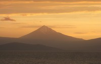
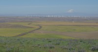
Mt Jefferson beyond Kalamath Lake(jpg)
Google Maps Earth (.kmz) Nearby Pictures
Tue 06/09/15
 |
|
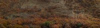
fall trees on hillside(jpg)
Google GeoTrack Maps Earth (.kmz) Nearby Pictures
Wed 11/11/20
 |
|
Lake Abert sunset(jpg)
Google GeoTrack Maps Earth (.kmz) Nearby Pictures
Sat 10/05/19
 |
|
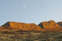
moon east of Lake Abert(jpg)
Google GeoTrack Maps Earth (.kmz) Nearby Pictures
Sat 10/05/19
Mt Ashland clouds(jpg)
Google GeoTrack Maps Earth (.kmz) Nearby Pictures
Fri 11/04/22
 |
|
glowing tree(jpg)
Google GeoTrack Maps Earth (.kmz) Nearby Pictures
Fri 11/06/20
 |
|
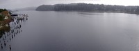
Siuslaw River(jpg)
Google GeoTrack Maps Earth (.kmz) Nearby Pictures
Sat 11/07/20
 |
|
umpqua lighthouse in the trees(jpg)
Google Maps Earth (.kmz) Nearby Pictures
Sat 09/27/08
 |
|
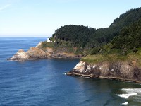
heceta head lighthouse(jpg)
Google GeoTrack Maps Earth (.kmz) Nearby Pictures
Sat 09/27/08
from above Devils Churn(jpg)
Google GeoTrack Maps Earth (.kmz) Nearby Pictures
Fri 11/06/20
 |
|
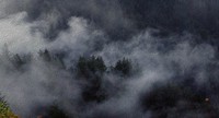
Oregon coastal fog in trees(jpg)
Google GeoTrack Maps Earth (.kmz) Nearby Pictures
Fri 11/06/20
 |
|
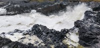
Devils Churn(jpg)
Google GeoTrack Maps Earth (.kmz) Nearby Pictures
Fri 11/06/20
 |
|
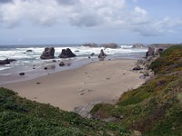
Bandon Oregon beach(jpg)
Google GeoTrack Maps Earth (.kmz) Nearby Pictures
Thu 05/20/10
 |
|
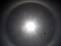
circular rainbow around sun(jpg)
Google GeoTrack Maps Earth (.kmz) Nearby Pictures
Thu 05/20/10
Beacon Rock trail(jpg)
Google GeoTrack Maps Earth (.kmz) Nearby Pictures
Thu 06/11/15
 |
|
madcro max line(jpg)
Google Maps Earth (.kmz) Nearby Pictures
Thu 09/11/08
 |
|
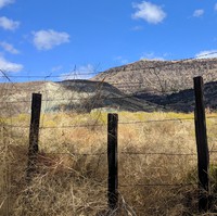
fence along John Day Highway(jpg)
Google GeoTrack Maps Earth (.kmz) Nearby Pictures
Tue 09/24/19
 |
|
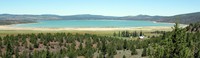
Eagle Lake(jpg)
Google GeoTrack Maps Earth (.kmz) Nearby Pictures
Thu 07/01/10
 |
|
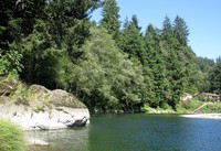
Wilson River Blue Hole(jpg)
Google GeoTrack Maps Earth (.kmz) Nearby Pictures
Sun 08/17/14
 |
|
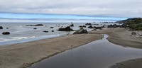
Harris Beach(jpg)
Google GeoTrack Maps Earth (.kmz) Nearby Pictures
Sun 07/09/23
 |
|
McCloud River(jpg)
Google GeoTrack Maps Earth (.kmz) Nearby Pictures
Thu 10/07/21
 |
|
eastern Oregon(jpg)
Google Maps Earth (.kmz) Nearby Pictures
Thu 06/11/15