 |
|
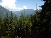
Hansen Ridge Trail(jpg)
Google GeoTrack Maps Earth (.kmz) Nearby Pictures
Sun 07/30/17
 |
|
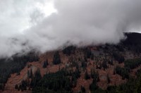
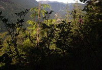
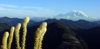
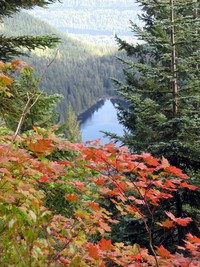
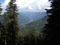
Humpback Mountain(jpg)
Google GeoTrack Maps Earth (.kmz) Nearby Pictures
Fri 10/30/20
 |
|
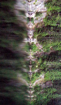
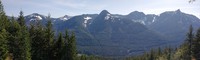
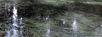
Five stripes(jpg)
Google GeoTrack Maps Earth (.kmz) Nearby Pictures
Fri 10/30/20
 |
|
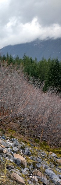
where you least expect it(jpg)
Google GeoTrack Maps Earth (.kmz) Nearby Pictures
Thu 06/18/20
 |
|
I say James do drive on(jpg)
Google GeoTrack Maps Earth (.kmz) Nearby Pictures
Wed 07/29/09
 |
|
up some hill south of i90(jpg)
Google GeoTrack Maps Earth (.kmz) Nearby Pictures
Sat 07/28/07
 |
|
up some hill south of i90(jpg)
Google GeoTrack Maps Earth (.kmz) Nearby Pictures
Sat 07/28/07
 |
|
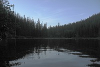
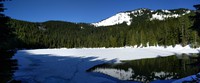
Annette Lake(jpg)
Google GeoTrack Maps Earth (.kmz) Nearby Pictures
Sat 08/23/14
 |
|
Annette Lake alien(jpg)
Google GeoTrack Maps Earth (.kmz) Nearby Pictures
Sat 08/23/14
 |
|
Annette Lake Trail sign on Iron Horse Trail(jpg)
Google GeoTrack Maps Earth (.kmz) Nearby Pictures
Wed 07/29/09
 |
|
I90 from Silver Peak backside trail(jpg)
Google GeoTrack Maps Earth (.kmz) Nearby Pictures
Sat 08/13/16
 |
|
Tinkham Peak echo(jpg)
Google GeoTrack Maps Earth (.kmz) Nearby Pictures
Sat 08/13/16
 |
|
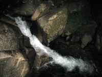
Humpback Creek at night(jpg)
Google GeoTrack Maps Earth (.kmz) Nearby Pictures
Wed 07/29/09
 |
|
Talapus Lake(jpg)
Google GeoTrack Maps Earth (.kmz) Nearby Pictures
Sun 09/20/09
 |
|
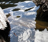
Talapus Lake log(jpg)
Google GeoTrack Maps Earth (.kmz) Nearby Pictures
Sun 09/20/09
 |
|
Talapus Lake adjusted(jpg)
Google GeoTrack Maps Earth (.kmz) Nearby Pictures
Sun 09/20/09
 |
|
Talapus Lake water(jpg)
Google GeoTrack Maps Earth (.kmz) Nearby Pictures
Sun 09/20/09
 |
|
Silver Peak SW pano(jpg)
Google GeoTrack Maps Earth (.kmz) Nearby Pictures
Sat 08/13/16
 |
|
Silver Peak NE pano(jpg)
Google GeoTrack Maps Earth (.kmz) Nearby Pictures
Sat 08/13/16
 |
|
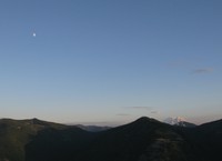
Mt Moondier(jpg)
Google GeoTrack Maps Earth (.kmz) Nearby Pictures
Sun 07/10/11
 |
|
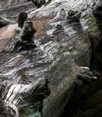
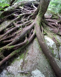
rock eating tree(jpg)
Google GeoTrack Maps Earth (.kmz) Nearby Pictures
Sat 08/18/07
 |
|
medicine man behind the bush(jpg)
Google GeoTrack Maps Earth (.kmz) Nearby Pictures
Sat 08/18/07
 |
|
Talapus Lake(jpg)
Google GeoTrack Maps Earth (.kmz) Nearby Pictures
Sun 07/10/11
 |
|
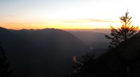
I90 sunset from Mason Lake Trail(jpg)
Google GeoTrack Maps Earth (.kmz) Nearby Pictures
Sat 07/10/10
 |
|
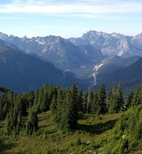
Mt Rainier from Bandera Mountain(jpg)
Google GeoTrack Maps Earth (.kmz) Nearby Pictures
Sun 07/25/10
 |
|
hills south of I90 from Ira Springs Trail(jpg)
Google GeoTrack Maps Earth (.kmz) Nearby Pictures
Sat 05/15/21
 |
|
lilly late(jpg)
Google GeoTrack Maps Earth (.kmz) Nearby Pictures
Sun 09/14/14
 |
|
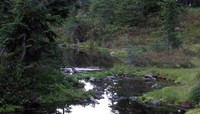
pond on pct(jpg)
Google GeoTrack Maps Earth (.kmz) Nearby Pictures
Sun 09/14/14
 |
|
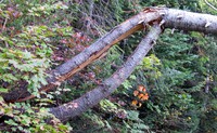
tree on Pratt Mountain trail(jpg)
Google GeoTrack Maps Earth (.kmz) Nearby Pictures
Sun 09/20/09
 |
|
pond on pct(jpg)
Google GeoTrack Maps Earth (.kmz) Nearby Pictures
Sun 09/21/14
 |
|
pond on pct(jpg)
Google GeoTrack Maps Earth (.kmz) Nearby Pictures
Sun 09/21/14
 |
|
Talapus Lake from Pratt Mountain trail(jpg)
Google GeoTrack Maps Earth (.kmz) Nearby Pictures
Sun 09/20/09
 |
|
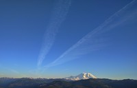
Mt Rainier jet trails(jpg)
Google GeoTrack Maps Earth (.kmz) Nearby Pictures
Mon 05/22/17
 |
|
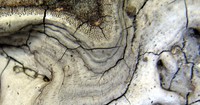
fungus whorl(jpg)
Google GeoTrack Maps Earth (.kmz) Nearby Pictures
Sat 08/01/15
 |
|
I90 from McClellan Butte trail(jpg)
Google GeoTrack Maps Earth (.kmz) Nearby Pictures
Sun 08/05/07
 |
|
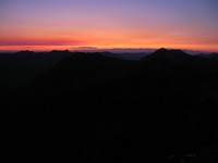
Granite Mountain sunset(jpg)
Google GeoTrack Maps Earth (.kmz) Nearby Pictures
Sun 10/04/09
 |
|
Ollalie Meadow(jpg)
Google GeoTrack Maps Earth (.kmz) Nearby Pictures
Sun 09/14/14
 |
|
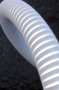
conduit over river(jpg)
Google GeoTrack Maps Earth (.kmz) Nearby Pictures
Sun 05/01/11
 |
|
I90 from McClellan Butte trail(jpg)
Google GeoTrack Maps Earth (.kmz) Nearby Pictures
Sun 08/05/07
 |
|
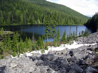
Olallie Lake(jpg)
Google GeoTrack Maps Earth (.kmz) Nearby Pictures
Fri 05/08/20