 |
|
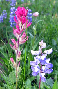
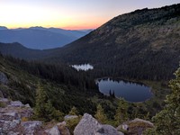
mosquitos and Hen Skin Lake(jpg)
Google GeoTrack Maps Earth (.kmz) Nearby Pictures
Tue 07/28/20
 |
|
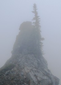
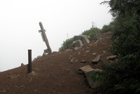
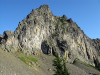
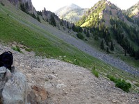
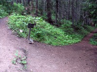
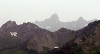
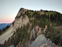
Bear Gap Hill(jpg)
Google GeoTrack Maps Earth (.kmz) Nearby Pictures
Sun 08/29/10
 |
|
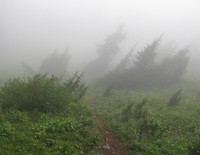
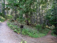
Bear Gap(jpg)
Google GeoTrack Maps Earth (.kmz) Nearby Pictures
Sun 08/29/10
 |
|
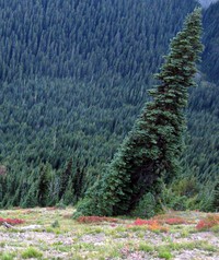
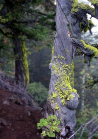
vertigo tree(jpg)
Google GeoTrack Maps Earth (.kmz) Nearby Pictures
Sat 09/25/10
 |
|
Bear Gap(jpg)
Google GeoTrack Maps Earth (.kmz) Nearby Pictures
Sun 08/29/10
 |
|
Bear Gap(jpg)
Google GeoTrack Maps Earth (.kmz) Nearby Pictures
Sun 08/29/10
 |
|
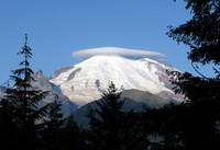
Rainier and sun hiding(jpg)
Google GeoTrack Maps Earth (.kmz) Nearby Pictures
Sat 09/25/10
 |
|
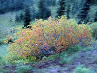
fall bush(jpg)
Google GeoTrack Maps Earth (.kmz) Nearby Pictures
Sat 09/25/10
 |
|
fall weed(jpg)
Google GeoTrack Maps Earth (.kmz) Nearby Pictures
Sat 09/25/10
 |
|
fall weeds(jpg)
Google GeoTrack Maps Earth (.kmz) Nearby Pictures
Sat 09/25/10
 |
|
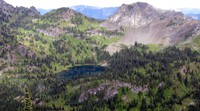
hill above Crystal Lake(jpg)
Google GeoTrack Maps Earth (.kmz) Nearby Pictures
Sun 07/26/09
 |
|
hill and cloud near Sourdough Gap(jpg)
Google GeoTrack Maps Earth (.kmz) Nearby Pictures
Sun 07/26/09
 |
|
hill above Crystal Lake(jpg)
Google GeoTrack Maps Earth (.kmz) Nearby Pictures
Sun 07/26/09
 |
|
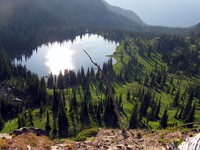
Upper Crystal Lake from above(jpg)
Google GeoTrack Maps Earth (.kmz) Nearby Pictures
Sun 07/26/09
full moon rising(jpg)
Google GeoTrack Maps Earth (.kmz) Nearby Pictures
Sat 09/25/10
 |
|
between Crystal Lake and Chinook Pass(jpg)
Google GeoTrack Maps Earth (.kmz) Nearby Pictures
Sun 07/26/09
 |
|
dead tree near Sourdough Gap(jpg)
Google GeoTrack Maps Earth (.kmz) Nearby Pictures
Sun 07/26/09
 |
|
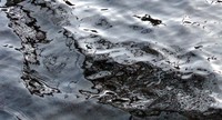
dead water reflections(jpg)
Google GeoTrack Maps Earth (.kmz) Nearby Pictures
Sun 10/26/08
 |
|
Upper Crystal Lake shore(jpg)
Google GeoTrack Maps Earth (.kmz) Nearby Pictures
Sun 10/26/08
 |
|
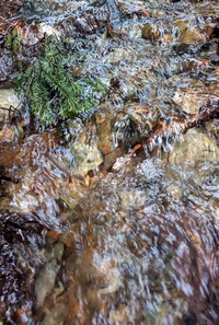
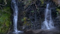
soft water(jpg)
Google GeoTrack Maps Earth (.kmz) Nearby Pictures
Thu 05/28/20
 |
|
wildflowers near Sheep Lake(jpg)
Google GeoTrack Maps Earth (.kmz) Nearby Pictures
Sun 07/26/09
 |
|
wildflowers near Sheep Lake(jpg)
Google GeoTrack Maps Earth (.kmz) Nearby Pictures
Sun 07/26/09
 |
|
Crystal Peak trail(jpg)
Google GeoTrack Maps Earth (.kmz) Nearby Pictures
Sun 08/24/14
 |
|
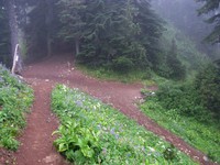
Crystal Lake Peak trail split(jpg)
Google GeoTrack Maps Earth (.kmz) Nearby Pictures
Sun 08/24/14
 |
|
Crystal Lakes Peak trail split(jpg)
Google GeoTrack Maps Earth (.kmz) Nearby Pictures
Sun 10/26/08
 |
|
Upper Crystal Lake from Peak(jpg)
Google GeoTrack Maps Earth (.kmz) Nearby Pictures
Sun 08/24/14
 |
|
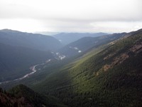
north along White River from Crystal Peak(jpg)
Google GeoTrack Maps Earth (.kmz) Nearby Pictures
Sun 08/24/14
 |
|
sun in mossy trees(jpg)
Google GeoTrack Maps Earth (.kmz) Nearby Pictures
Sun 08/24/14
 |
|
far hills from Crystal Peak trail(jpg)
Google GeoTrack Maps Earth (.kmz) Nearby Pictures
Sun 08/24/14
 |
|
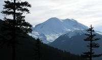
Mt Rainier under cloud(jpg)
Google GeoTrack Maps Earth (.kmz) Nearby Pictures
Sun 08/30/09
 |
|
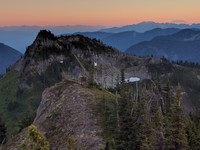
no name hill from the approachable side(jpg)
Google GeoTrack Maps Earth (.kmz) Nearby Pictures
Tue 08/16/16
 |
|
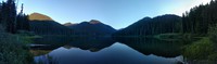
Deadwood Lakes(jpg)
Google GeoTrack Maps Earth (.kmz) Nearby Pictures
Tue 08/16/16
 |
|
standing water(jpg)
Google GeoTrack Maps Earth (.kmz) Nearby Pictures
Fri 05/12/23
 |
|
Goat Peak tree(jpg)
Google GeoTrack Maps Earth (.kmz) Nearby Pictures
Sat 09/18/10
 |
|
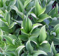
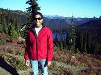
Heather in front of Dewey Lake(jpg)
Google GeoTrack Maps Earth (.kmz) Nearby Pictures
Fri 09/21/07
 |
|
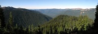
Sunrise loop ridge looking north east pano(jpg)
Google GeoTrack Maps Earth (.kmz) Nearby Pictures
Tue 09/22/15
 |
|
mt rainier(jpg)
Google GeoTrack Maps Earth (.kmz) Nearby Pictures
Sun 05/17/09
 |
|
Echo Lake pano(jpg)
Google GeoTrack Maps Earth (.kmz) Nearby Pictures
Wed 08/17/16
 |
|
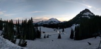
Rainier behind snowy Tipsoo pano(jpg)
Google GeoTrack Maps Earth (.kmz) Nearby Pictures
Sat 06/04/16
 |
|
no name hill weather station in front of Yakima Peak at sunset(jpg)
Google GeoTrack Maps Earth (.kmz) Nearby Pictures
Tue 08/16/16