 |
|
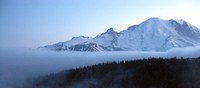
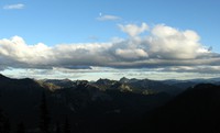
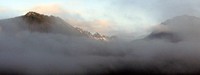
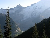
fog bank Rainier(jpg)
Google GeoTrack Maps Earth (.kmz) Nearby Pictures
Sat 08/13/11
 |
|
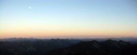
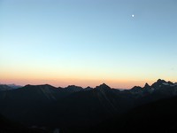
moon and mountain line from side of dege peak(jpg)
Google GeoTrack Maps Earth (.kmz) Nearby Pictures
Sat 09/06/14
 |
|
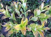
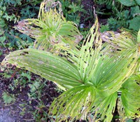
plants ending(jpg)
Google GeoTrack Maps Earth (.kmz) Nearby Pictures
Sat 09/06/14
 |
|
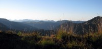
above the top(jpg)
Google GeoTrack Maps Earth (.kmz) Nearby Pictures
Sat 09/06/14
 |
|
Mt Adams from Sunrise road(jpg)
Google GeoTrack Maps Earth (.kmz) Nearby Pictures
Sat 06/21/14
 |
|
Sunrise Lake from Sourdough Trail(jpg)
Google GeoTrack Maps Earth (.kmz) Nearby Pictures
Sat 09/06/14
 |
|
plants ending(jpg)
Google GeoTrack Maps Earth (.kmz) Nearby Pictures
Sat 09/06/14
 |
|
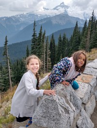
Zoey and Olive with little Tahoma(jpg)
Google GeoTrack Maps Earth (.kmz) Nearby Pictures
Sun 09/18/22
 |
|
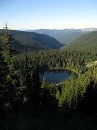
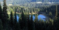
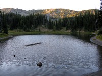
Sunrise Lake(jpg)
Google GeoTrack Maps Earth (.kmz) Nearby Pictures
Sat 08/13/11
 |
|
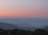
moon over the Cascades(jpg)
Google GeoTrack Maps Earth (.kmz) Nearby Pictures
Wed 09/23/15
 |
|
moon over the Cascades(jpg)
Google GeoTrack Maps Earth (.kmz) Nearby Pictures
Tue 09/22/15
 |
|
boonie running the ridge over Clover Lake(jpg)
Google GeoTrack Maps Earth (.kmz) Nearby Pictures
Tue 09/22/15
 |
|
Big Dipper in trees(jpg)
Google GeoTrack Maps Earth (.kmz) Nearby Pictures
Sun 08/13/23
 |
|
ridge above Clover Lake(jpg)
Google GeoTrack Maps Earth (.kmz) Nearby Pictures
Tue 09/22/15
 |
|
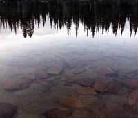
Clover Lake(jpg)
Google GeoTrack Maps Earth (.kmz) Nearby Pictures
Tue 09/22/15
 |
|
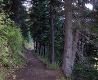
Sunrise Lake trail(jpg)
Google GeoTrack Maps Earth (.kmz) Nearby Pictures
Tue 09/22/15
 |
|
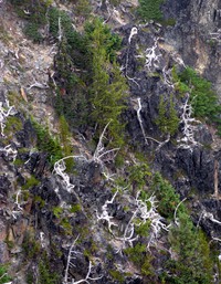
dead tree pattern(jpg)
Google GeoTrack Maps Earth (.kmz) Nearby Pictures
Wed 08/09/17
 |
|
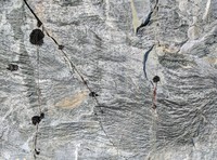
flowing rock N(jpg)
Google GeoTrack Maps Earth (.kmz) Nearby Pictures
Wed 08/09/17
 |
|
hazy Rainier from above Sunrise(jpg)
Google GeoTrack Maps Earth (.kmz) Nearby Pictures
Wed 08/09/17
 |
|
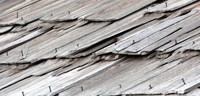
nailed roof pattern(jpg)
Google GeoTrack Maps Earth (.kmz) Nearby Pictures
Tue 09/22/15
 |
|
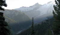
misty mountains(jpg)
Google GeoTrack Maps Earth (.kmz) Nearby Pictures
Sat 08/13/11
 |
|
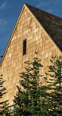
Sunrise snack bar top(jpg)
Google GeoTrack Maps Earth (.kmz) Nearby Pictures
Mon 09/08/08
 |
|
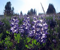
Sunrise flowers(jpg)
Google GeoTrack Maps Earth (.kmz) Nearby Pictures
Sun 07/19/09
 |
|
White River and Emmons Glacier(jpg)
Google GeoTrack Maps Earth (.kmz) Nearby Pictures
Mon 09/08/08
 |
|
hiker from the sun(jpg)
Google GeoTrack Maps Earth (.kmz) Nearby Pictures
Wed 08/09/17
 |
|
White River and Emmons Glacier(jpg)
Google GeoTrack Maps Earth (.kmz) Nearby Pictures
Mon 09/08/08
 |
|
cloudy hill(jpg)
Google GeoTrack Maps Earth (.kmz) Nearby Pictures
Sun 08/26/12
 |
|
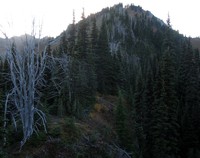
on top of McNeeley Peak(jpg)
Google GeoTrack Maps Earth (.kmz) Nearby Pictures
Tue 09/20/22
 |
|
Sourdough Ridge back side(jpg)
Google GeoTrack Maps Earth (.kmz) Nearby Pictures
Tue 09/20/22
 |
|
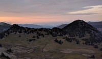
McNeeley Peak(jpg)
Google GeoTrack Maps Earth (.kmz) Nearby Pictures
Sun 09/18/22
 |
|
Sunrise gets this a lot(jpg)
Google GeoTrack Maps Earth (.kmz) Nearby Pictures
Mon 09/05/11
 |
|
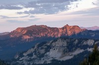
Marcus Peak from Sourdough Ridge(jpg)
Google GeoTrack Maps Earth (.kmz) Nearby Pictures
Sun 09/18/22
 |
|
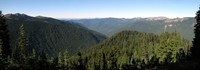
Frying Pan Creek in August(jpg)
Google GeoTrack Maps Earth (.kmz) Nearby Pictures
Sat 08/25/12
 |
|
Sunrise loop ridge looking north east pano(jpg)
Google GeoTrack Maps Earth (.kmz) Nearby Pictures
Tue 09/22/15
 |
|
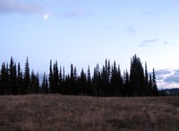
moon over Palisades trees(jpg)
Google GeoTrack Maps Earth (.kmz) Nearby Pictures
Wed 09/23/15
 |
|
white river(jpg)
Google GeoTrack Maps Earth (.kmz) Nearby Pictures
Sun 05/17/09
 |
|
Huckleberry Creek trees(jpg)
Google GeoTrack Maps Earth (.kmz) Nearby Pictures
Sat 09/27/14
 |
|
rock pattern(jpg)
Google GeoTrack Maps Earth (.kmz) Nearby Pictures
Sun 08/13/23
 |
|
Shadow Lake(jpg)
Google GeoTrack Maps Earth (.kmz) Nearby Pictures
Mon 09/08/08
 |
|
Mt Jetdier(jpg)
Google GeoTrack Maps Earth (.kmz) Nearby Pictures
Sat 09/03/11