 |
|
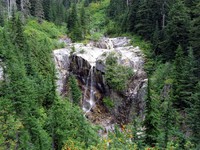
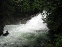
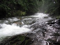
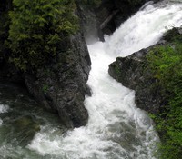
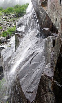
falls on Denny Creek(jpg)
Google GeoTrack Maps Earth (.kmz) Nearby Pictures
Sun 09/25/11
 |
|
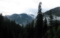
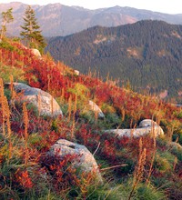
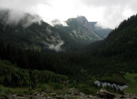
hills and clouds from Denny Creek trail(jpg)
Google GeoTrack Maps Earth (.kmz) Nearby Pictures
Sun 09/25/11
 |
|
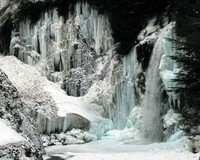
Franklin Falls winter(jpg)
Google GeoTrack Maps Earth (.kmz) Nearby Pictures
Sun 01/25/09
 |
|
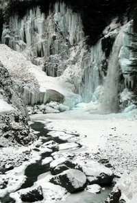
Franklin Falls winter(jpg)
Google GeoTrack Maps Earth (.kmz) Nearby Pictures
Sun 01/25/09
 |
|
fractal scene below Franklin Falls(jpg)
Google GeoTrack Maps Earth (.kmz) Nearby Pictures
Sat 08/18/07
 |
|
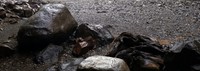
rocks lost at Franklin Falls without a camera(jpg)
Google GeoTrack Maps Earth (.kmz) Nearby Pictures
Sat 08/01/20
 |
|
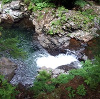
pool above Franklin Falls(jpg)
Google GeoTrack Maps Earth (.kmz) Nearby Pictures
Wed 06/29/11
 |
|
above Franklin Falls(jpg)
Google GeoTrack Maps Earth (.kmz) Nearby Pictures
Wed 06/29/11
 |
|
river above Franklin Falls(jpg)
Google GeoTrack Maps Earth (.kmz) Nearby Pictures
Wed 06/29/11
 |
|
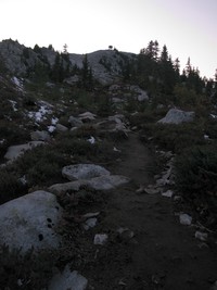
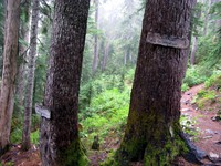
Granite Mountain trail(jpg)
Google GeoTrack Maps Earth (.kmz) Nearby Pictures
Sun 10/04/09
 |
|
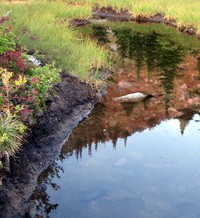
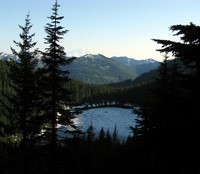
Granite Mountain pond(jpg)
Google GeoTrack Maps Earth (.kmz) Nearby Pictures
Sun 10/04/09
 |
|
Granite Mountain trail(jpg)
Google GeoTrack Maps Earth (.kmz) Nearby Pictures
Sun 10/04/09
 |
|
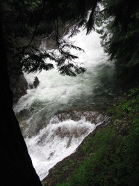
little falls above Franklin Falls(jpg)
Google GeoTrack Maps Earth (.kmz) Nearby Pictures
Wed 06/29/11
 |
|
Melakwa Lake Tuscohatchie Lake trail junction(jpg)
Google GeoTrack Maps Earth (.kmz) Nearby Pictures
Sun 09/25/11
 |
|
Melakwa Lake(jpg)
Google GeoTrack Maps Earth (.kmz) Nearby Pictures
Sun 09/25/11
 |
|
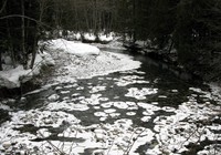
Snoqualmie River winter(jpg)
Google GeoTrack Maps Earth (.kmz) Nearby Pictures
Sun 01/25/09
 |
|
Granite Mountain trail(jpg)
Google GeoTrack Maps Earth (.kmz) Nearby Pictures
Sun 10/04/09
 |
|
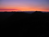
Granite Mountain sunset(jpg)
Google GeoTrack Maps Earth (.kmz) Nearby Pictures
Sun 10/04/09
 |
|
Snoqualmie River winter(jpg)
Google GeoTrack Maps Earth (.kmz) Nearby Pictures
Sun 01/25/09
 |
|
Melakwa Lake(jpg)
Google GeoTrack Maps Earth (.kmz) Nearby Pictures
Sun 09/25/11
 |
|
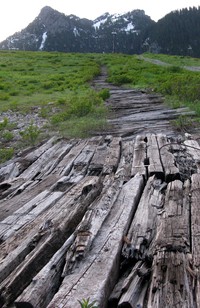
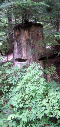
old wooden road(jpg)
Google GeoTrack Maps Earth (.kmz) Nearby Pictures
Sat 07/09/11
 |
|
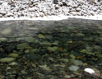
snowy rocks in snoqualmie river(jpg)
Google GeoTrack Maps Earth (.kmz) Nearby Pictures
Sun 01/25/09
 |
|
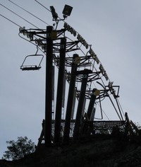
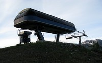
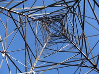
chair lift(jpg)
Google GeoTrack Maps Earth (.kmz) Nearby Pictures
Sat 07/09/11
 |
|
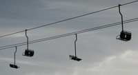
chair lift(jpg)
Google GeoTrack Maps Earth (.kmz) Nearby Pictures
Sat 07/09/11
 |
|
growing on a rock(jpg)
Google GeoTrack Maps Earth (.kmz) Nearby Pictures
Sun 09/07/14
 |
|
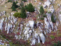
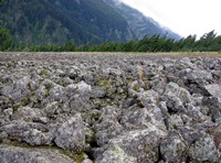
rocks aligned(jpg)
Google GeoTrack Maps Earth (.kmz) Nearby Pictures
Sun 09/25/11
 |
|
Source Lake(jpg)
Google GeoTrack Maps Earth (.kmz) Nearby Pictures
Sun 09/12/10
 |
|
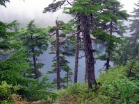
waterfall above Source Lake(jpg)
Google GeoTrack Maps Earth (.kmz) Nearby Pictures
Sun 09/12/10
 |
|
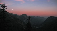
moon over Alpental(jpg)
Google GeoTrack Maps Earth (.kmz) Nearby Pictures
Sun 09/07/14
 |
|
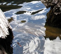
pond scum(jpg)
Google GeoTrack Maps Earth (.kmz) Nearby Pictures
Sun 09/07/14
 |
|
rock pattern(jpg)
Google GeoTrack Maps Earth (.kmz) Nearby Pictures
Sun 09/07/14
 |
|
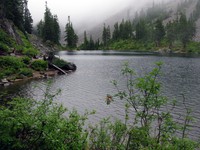
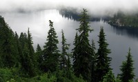
Snow Lake(jpg)
Google GeoTrack Maps Earth (.kmz) Nearby Pictures
Sun 09/12/10
 |
|
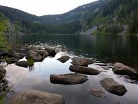
Pratt Lake(jpg)
Google GeoTrack Maps Earth (.kmz) Nearby Pictures
Thu 07/16/20
 |
|
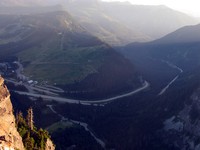
I90 from Guye Peak(jpg)
Google GeoTrack Maps Earth (.kmz) Nearby Pictures
Sat 08/27/11
 |
|
chair lift(jpg)
Google GeoTrack Maps Earth (.kmz) Nearby Pictures
Sat 07/09/11
 |
|
medicine man behind the bush(jpg)
Google GeoTrack Maps Earth (.kmz) Nearby Pictures
Sat 08/18/07
 |
|
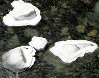
Talapus Lake water(jpg)
Google GeoTrack Maps Earth (.kmz) Nearby Pictures
Sun 09/20/09
 |
|
Olallie Lake(jpg)
Google GeoTrack Maps Earth (.kmz) Nearby Pictures
Fri 07/01/11
 |
|
up the mantis(jpg)
Google GeoTrack Maps Earth (.kmz) Nearby Pictures
Sun 09/14/14
 |
|
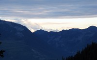
Mt Rainier from Snoqualmie scramble(jpg)
Google GeoTrack Maps Earth (.kmz) Nearby Pictures
Sat 09/11/10