 |
|
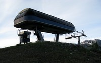
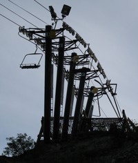
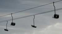
chair lift(jpg)
Google GeoTrack Maps Earth (.kmz) Nearby Pictures
Sat 07/09/11
 |
|
chair lift(jpg)
Google GeoTrack Maps Earth (.kmz) Nearby Pictures
Sat 07/09/11
 |
|
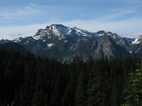
Snoqualmie Mt from above Hyak(jpg)
Google GeoTrack Maps Earth (.kmz) Nearby Pictures
Sat 07/09/11
 |
|
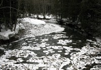
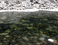
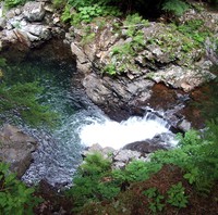
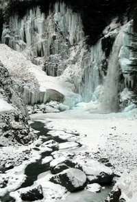
Snoqualmie River winter(jpg)
Google GeoTrack Maps Earth (.kmz) Nearby Pictures
Sun 01/25/09
 |
|
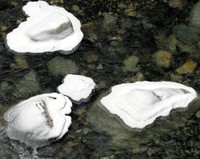
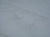
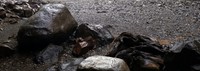
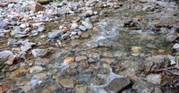
snowy rocks in snoqualmie river(jpg)
Google GeoTrack Maps Earth (.kmz) Nearby Pictures
Sun 01/25/09
 |
|
chair lift(jpg)
Google GeoTrack Maps Earth (.kmz) Nearby Pictures
Sat 07/09/11
 |
|
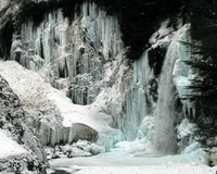
Snoqualmie River winter(jpg)
Google GeoTrack Maps Earth (.kmz) Nearby Pictures
Sun 01/25/09
 |
|
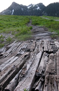
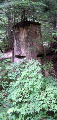
old wooden road(jpg)
Google GeoTrack Maps Earth (.kmz) Nearby Pictures
Sat 07/09/11
 |
|
up the mantis(jpg)
Google GeoTrack Maps Earth (.kmz) Nearby Pictures
Sun 09/14/14
 |
|
fractal scene below Franklin Falls(jpg)
Google GeoTrack Maps Earth (.kmz) Nearby Pictures
Sat 08/18/07
 |
|
chair lift(jpg)
Google GeoTrack Maps Earth (.kmz) Nearby Pictures
Sat 07/09/11
 |
|
Heather near Snoqualmie tunnel(jpg)
Google GeoTrack Maps Earth (.kmz) Nearby Pictures
Sun 01/25/09
 |
|
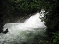
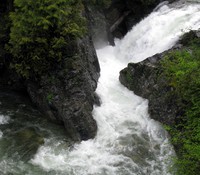
Franklin Falls winter(jpg)
Google GeoTrack Maps Earth (.kmz) Nearby Pictures
Sun 01/25/09
 |
|
Franklin Falls winter(jpg)
Google GeoTrack Maps Earth (.kmz) Nearby Pictures
Sun 01/25/09
 |
|
snow near snoqualmie tunnel(jpg)
Google GeoTrack Maps Earth (.kmz) Nearby Pictures
Sun 01/25/09
 |
|
above Franklin Falls(jpg)
Google GeoTrack Maps Earth (.kmz) Nearby Pictures
Wed 06/29/11
 |
|
rocks lost at Franklin Falls without a camera(jpg)
Google GeoTrack Maps Earth (.kmz) Nearby Pictures
Sat 08/01/20
 |
|
pool above Franklin Falls(jpg)
Google GeoTrack Maps Earth (.kmz) Nearby Pictures
Wed 06/29/11
 |
|
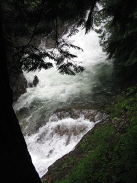
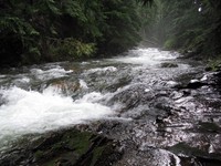
river above Franklin Falls(jpg)
Google GeoTrack Maps Earth (.kmz) Nearby Pictures
Wed 06/29/11
 |
|
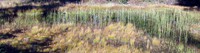
Ollalie Meadow(jpg)
Google GeoTrack Maps Earth (.kmz) Nearby Pictures
Sun 09/14/14
 |
|
little falls above Franklin Falls(jpg)
Google GeoTrack Maps Earth (.kmz) Nearby Pictures
Wed 06/29/11
 |
|
Hyak from Mt Catherine(jpg)
Google GeoTrack Maps Earth (.kmz) Nearby Pictures
Sun 09/21/14
 |
|
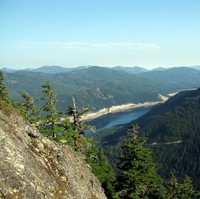
Lake Keechelus from Mt Catherine(jpg)
Google GeoTrack Maps Earth (.kmz) Nearby Pictures
Sun 09/21/14
 |
|
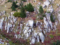
Granite Mountain trail(jpg)
Google GeoTrack Maps Earth (.kmz) Nearby Pictures
Sun 10/04/09
 |
|
pct windy pass pond pano(jpg)
Google GeoTrack Maps Earth (.kmz) Nearby Pictures
Sun 09/14/14
 |
|
medicine man behind the bush(jpg)
Google GeoTrack Maps Earth (.kmz) Nearby Pictures
Sat 08/18/07
 |
|
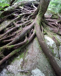
rock eating tree(jpg)
Google GeoTrack Maps Earth (.kmz) Nearby Pictures
Sat 08/18/07
 |
|
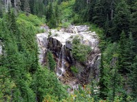
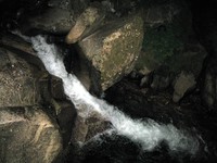
falls on Denny Creek(jpg)
Google GeoTrack Maps Earth (.kmz) Nearby Pictures
Sun 09/25/11
 |
|
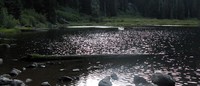
Granite Mountain pond(jpg)
Google GeoTrack Maps Earth (.kmz) Nearby Pictures
Sun 10/04/09
 |
|
Granite Mountain trail(jpg)
Google GeoTrack Maps Earth (.kmz) Nearby Pictures
Sun 10/04/09
 |
|
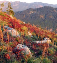
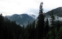
hills and clouds from Denny Creek trail(jpg)
Google GeoTrack Maps Earth (.kmz) Nearby Pictures
Sun 09/25/11
 |
|
Humpback Creek at night(jpg)
Google GeoTrack Maps Earth (.kmz) Nearby Pictures
Wed 07/29/09
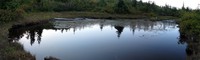
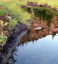
Heli s Pond(jpg)
Google GeoTrack Maps Earth (.kmz) Nearby Pictures
Mon 06/28/21
 |
|
Cold Creek(jpg)
Google GeoTrack Maps Earth (.kmz) Nearby Pictures
Tue 07/18/17
 |
|
from Kendall Katwalk trail(jpg)
Google GeoTrack Maps Earth (.kmz) Nearby Pictures
Sat 07/11/09
 |
|
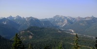
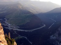
I90 from Guye Peak(jpg)
Google GeoTrack Maps Earth (.kmz) Nearby Pictures
Sat 08/27/11
 |
|
lower Twin Lake(jpg)
Google GeoTrack Maps Earth (.kmz) Nearby Pictures
Sun 09/21/14
 |
|
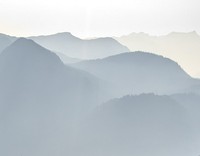
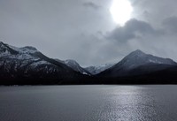
hazy hills(jpg)
Google GeoTrack Maps Earth (.kmz) Nearby Pictures
Sun 08/27/23
 |
|
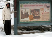
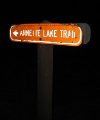
Annette Lake Trail sign on Iron Horse Trail(jpg)
Google GeoTrack Maps Earth (.kmz) Nearby Pictures
Wed 07/29/09
 |
|
not that far north(jpg)
Google GeoTrack Maps Earth (.kmz) Nearby Pictures
Sat 04/27/19