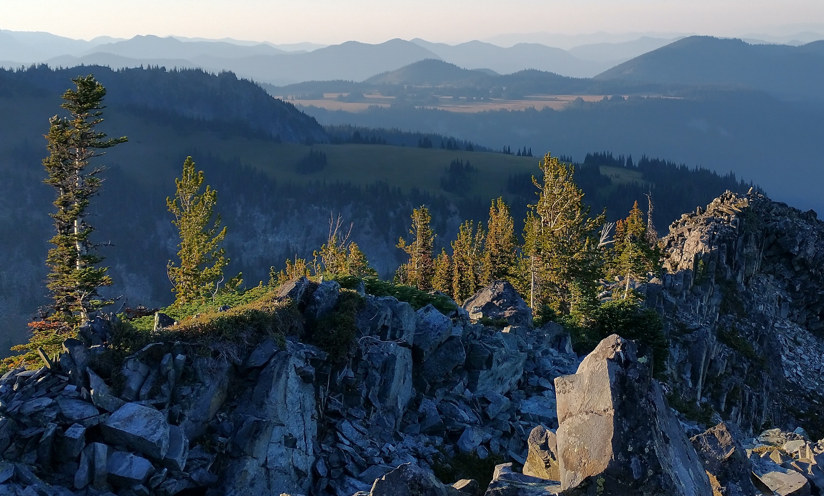
on top of McNeeley Peak(jpg)
Google GeoTrack
Maps
Earth (.kmz)
Nearby Pictures
Tue 09/20/22 lat=46.928114 lon=-121.647019 --- 46 55' 41.210" N 121 38' 49.270" W --- 2052 meters : 6732 feet
Previous
Next
Close-ish
All Pictures