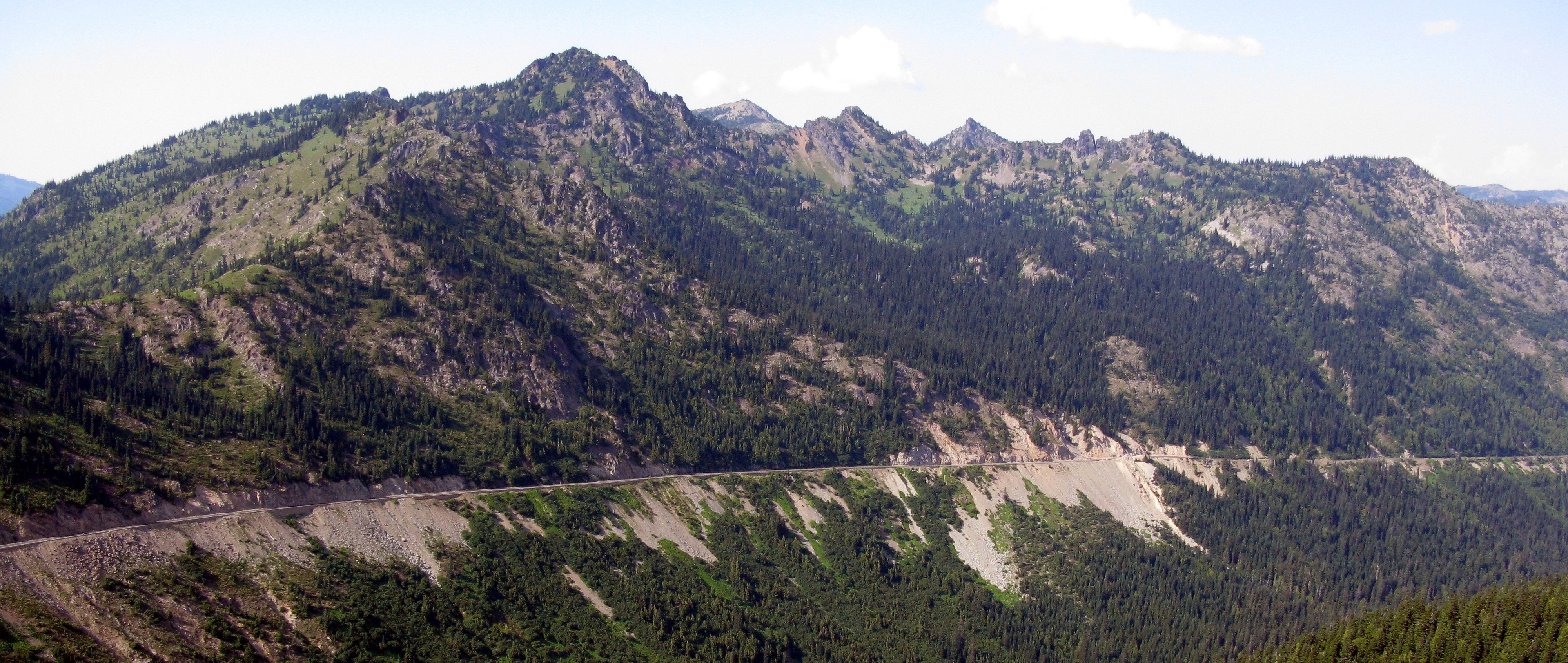
highway 410 from Naches Peak(jpg)
Google GeoTrack
Maps
Earth (.kmz)
Nearby Pictures
Sun 08/03/14 lat=46.869703 lon=-121.509267 --- 46 52' 10.930" N 121 30' 33.360" W --- 1861 meters : 6105 feet
Previous
Next
Close-ish
All Pictures