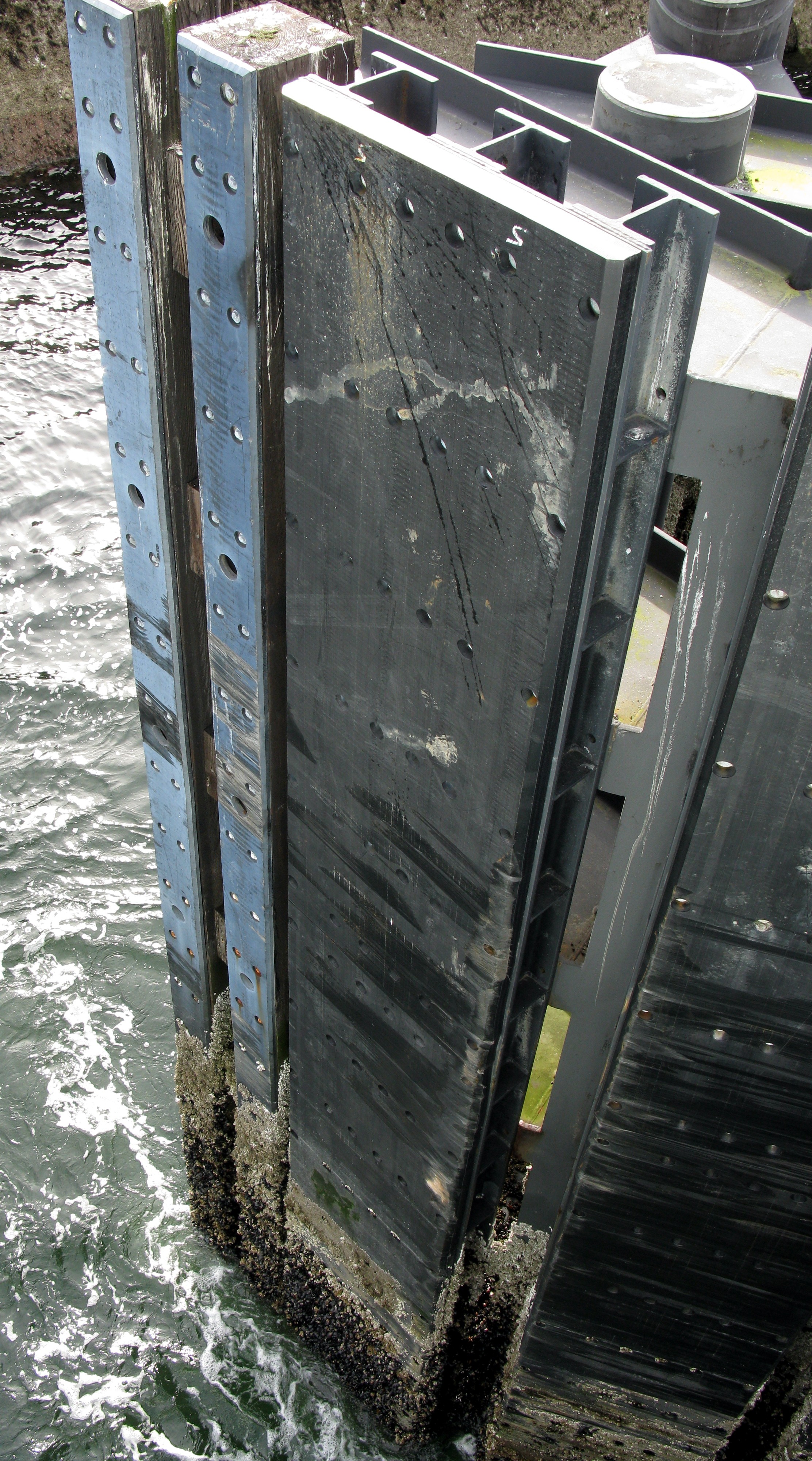
bremerton ferry dock pier(jpg)
Google GeoTrack
Maps
Earth (.kmz)
Nearby Pictures
Sat 04/18/09 lat=47.561664 lon=-122.624903 --- 47 33' 41.990" N 122 37' 29.650" W --- 1 meters : 3 feet
Previous
Next
Close-ish
All Pictures