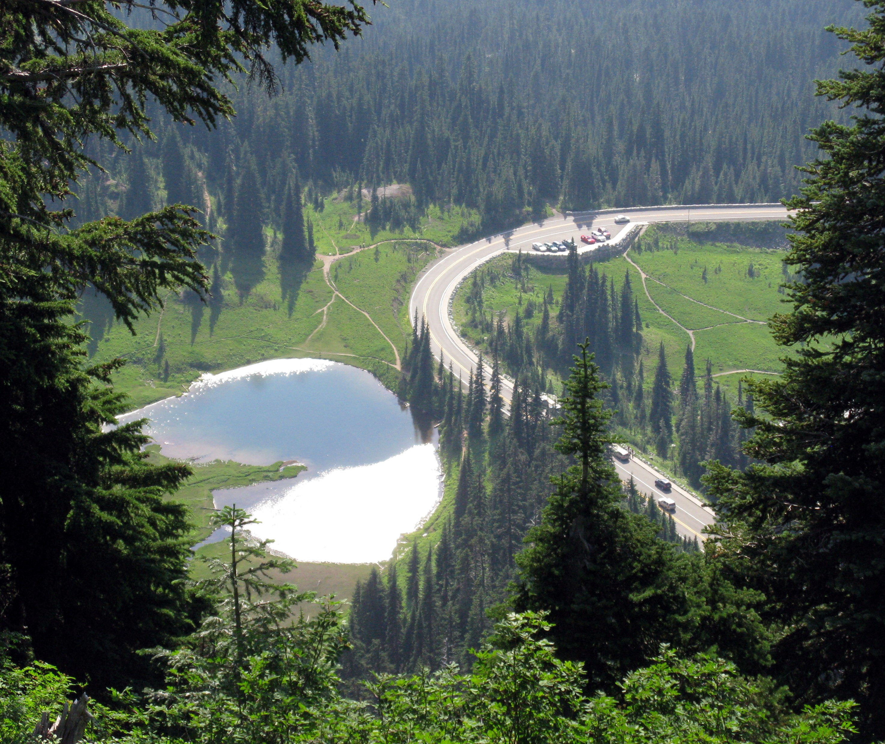
Tipsoo puddle from Naches Peak(jpg)
Google GeoTrack
Maps
Earth (.kmz)
Nearby Pictures
Sun 08/03/14 lat=46.868714 lon=-121.508700 --- 46 52' 7.370" N 121 30' 31.320" W --- 1910 meters : 6266 feet
Previous
Next
Close-ish
All Pictures