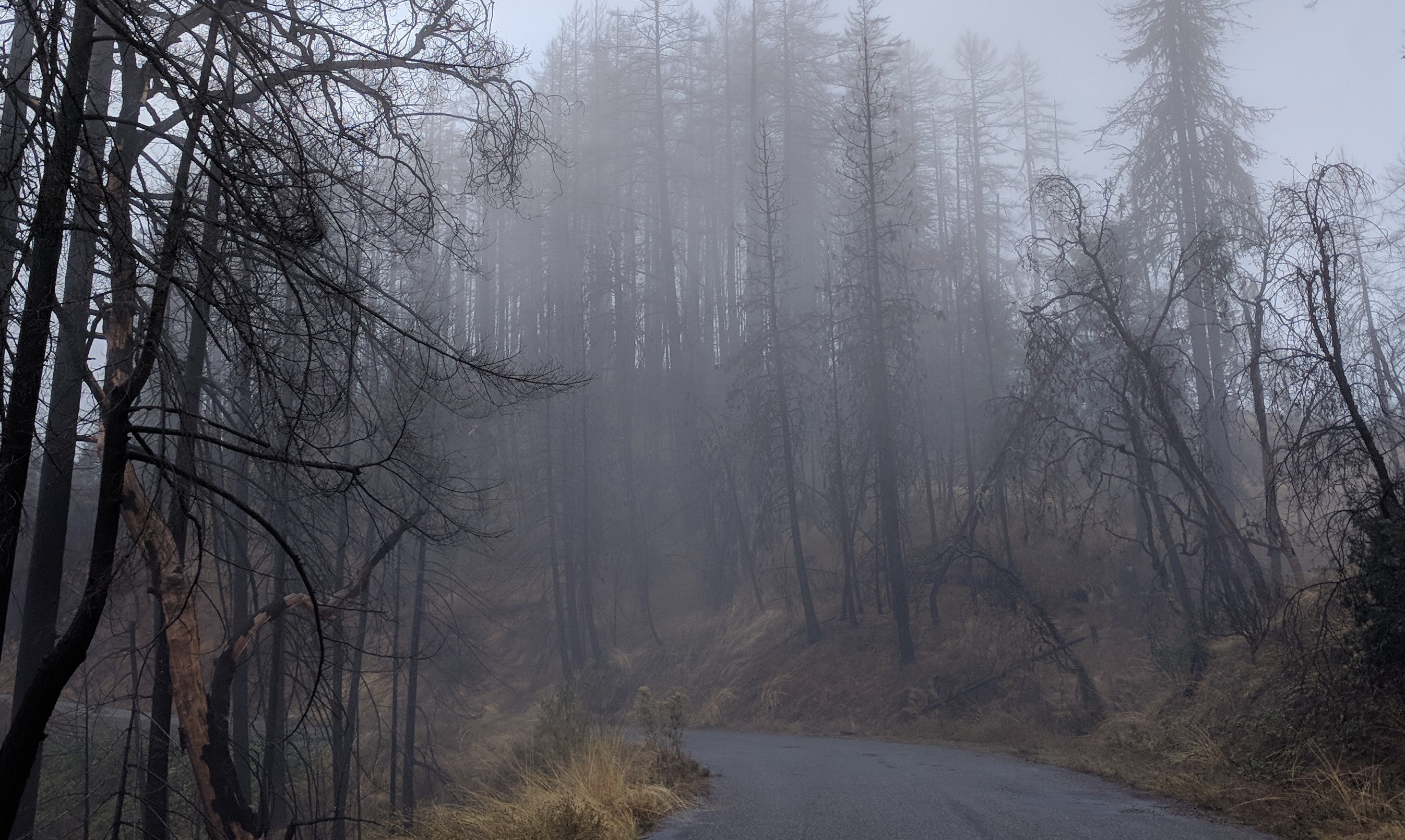
Northern Calif foggy burnt trees(jpg)
Google GeoTrack
Maps
Earth (.kmz)
Nearby Pictures
Sat 11/05/22 lat=40.111714 lon=-123.418864 --- 40 6' 42.170" N 123 25' 7.910" W --- 888 meters : 2913 feet
Previous
Next
Close-ish
All Pictures