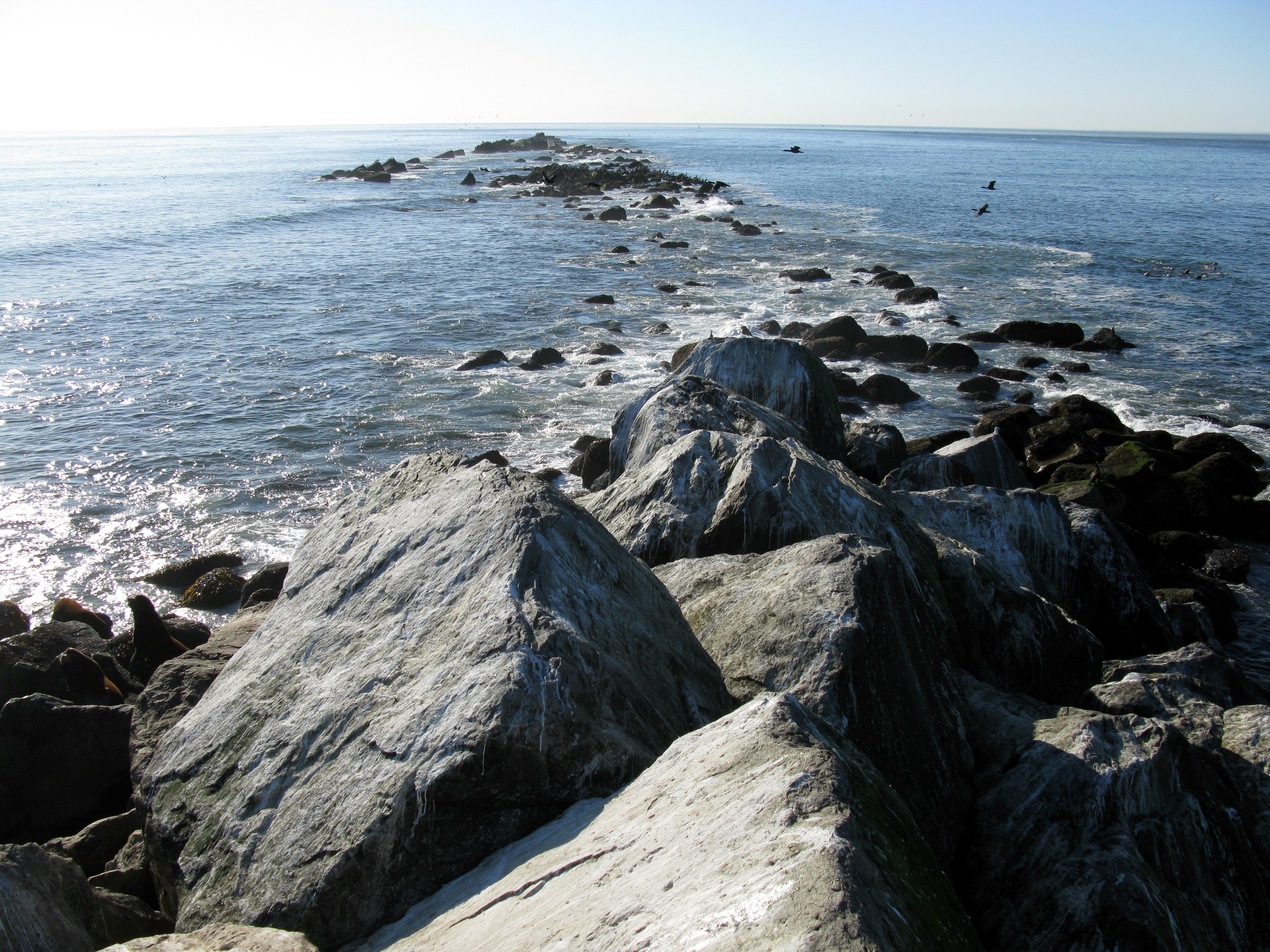
Columbia River south jetty end(jpg)
Google GeoTrack
Maps
Earth (.kmz)
Nearby Pictures
Sun 09/28/08 lat=46.233831 lon=-124.068469 --- 46 14' 1.790" N 124 4' 6.490" W --- 2 meters : 6 feet
Previous
Next
Close-ish
All Pictures