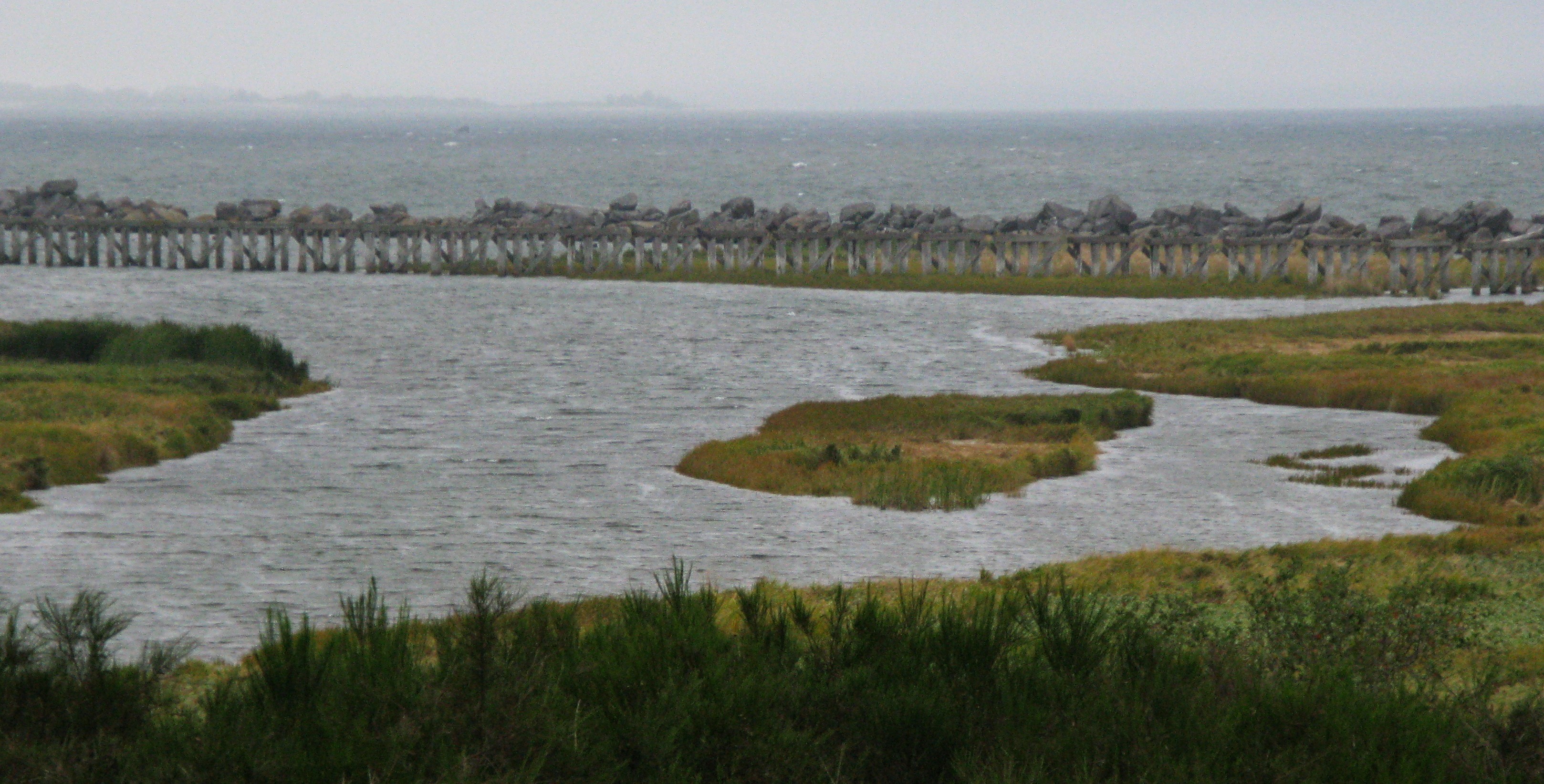
Columbia River south jetty access track pilings(jpg)
Google GeoTrack
Maps
Earth (.kmz)
Nearby Pictures
Sat 09/06/08 lat=46.207517 lon=-123.971986 --- 46 12' 27.060" N 123 58' 19.150" W --- 4 meters : 13 feet
Previous
Next
Close-ish
All Pictures