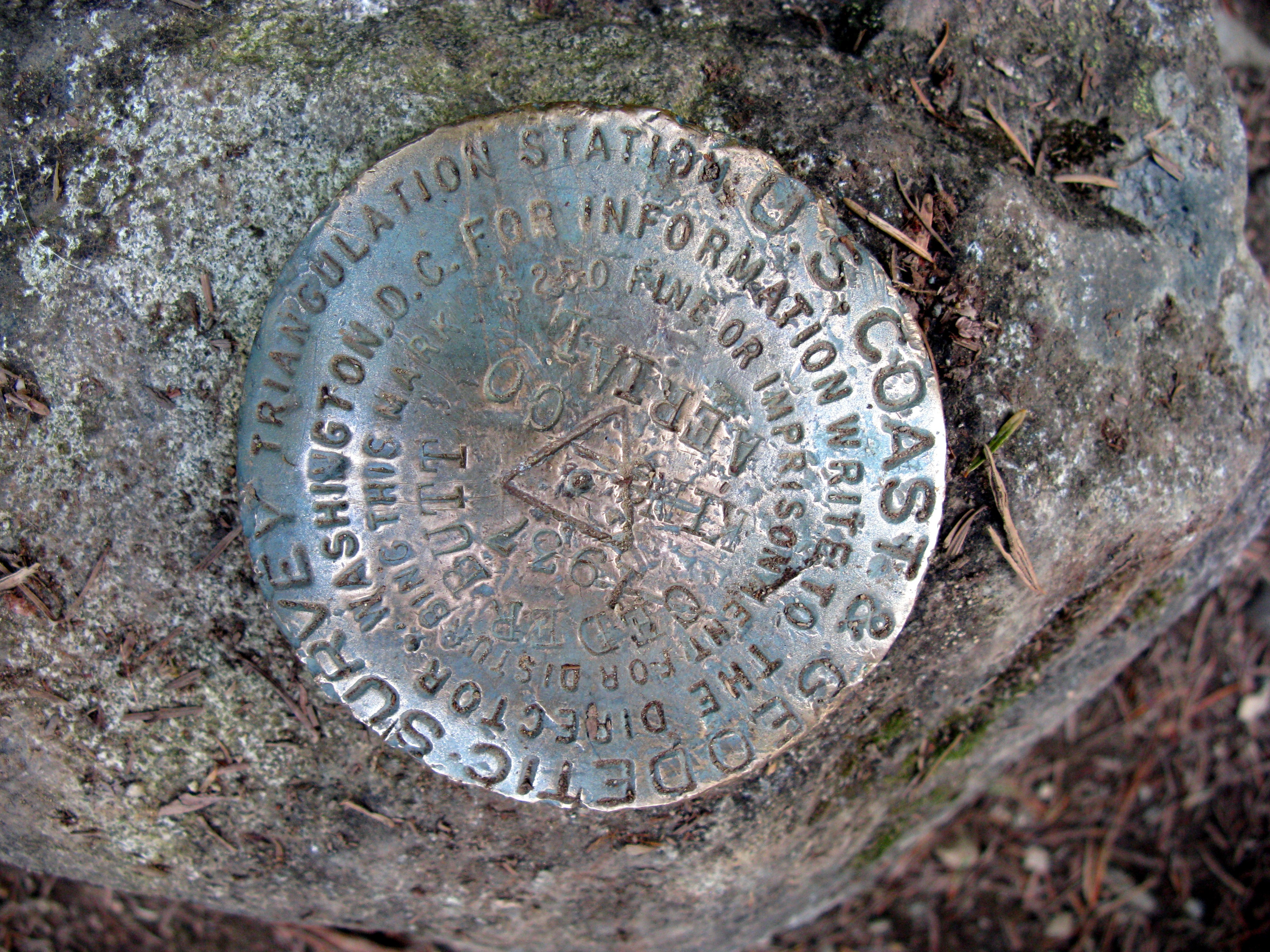
Cedar Butte geodetic marker(jpg)
Google GeoTrack
Maps
Earth (.kmz)
Nearby Pictures
Sat 05/24/08 lat=47.433967 lon=-121.741586 --- 47 26' 2.280" N 121 44' 29.710" W --- 553 meters : 1814 feet
Previous
Next
Close-ish
All Pictures