 |
|
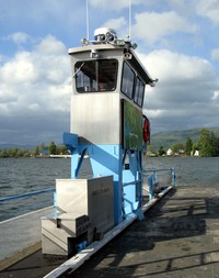
Wahkiakum ferry(jpg)
Google Maps Earth (.kmz) Nearby Pictures
Wed 05/19/10
 |
|
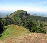
Saddle Mt from the other peak(jpg)
Google GeoTrack Maps Earth (.kmz) Nearby Pictures
Sun 06/07/15
 |
|
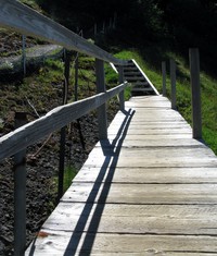
old Saddle Mt trail walkway(jpg)
Google GeoTrack Maps Earth (.kmz) Nearby Pictures
Sun 06/07/15
 |
|
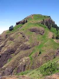
Saddle Mt from the saddle(jpg)
Google GeoTrack Maps Earth (.kmz) Nearby Pictures
Sun 06/07/15
 |
|
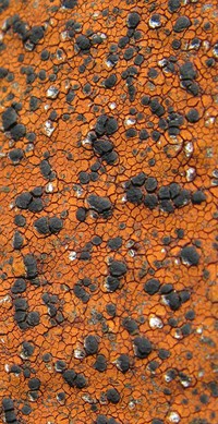
Saddle Mt lichen(jpg)
Google GeoTrack Maps Earth (.kmz) Nearby Pictures
Sun 06/07/15
 |
|
Saddle Mt lichen(jpg)
Google GeoTrack Maps Earth (.kmz) Nearby Pictures
Sun 06/07/15
 |
|
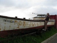
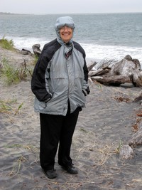
Alex on an old gillnet boat(jpg)
Google GeoTrack Maps Earth (.kmz) Nearby Pictures
Wed 05/19/10
 |
|
Astoria Bridge from the column(jpg)
Google GeoTrack Maps Earth (.kmz) Nearby Pictures
Wed 05/19/10
 |
|
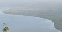
Youngs Bay from Astor Column hill(jpg)
Google GeoTrack Maps Earth (.kmz) Nearby Pictures
Sun 06/07/15
 |
|
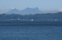
freighters and Saddle Mountain(jpg)
Google GeoTrack Maps Earth (.kmz) Nearby Pictures
Sat 09/06/08
 |
|
Astoria Megler bridge(jpg)
Google GeoTrack Maps Earth (.kmz) Nearby Pictures
Sat 09/06/08
 |
|
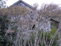
McGowan house(jpg)
Google GeoTrack Maps Earth (.kmz) Nearby Pictures
Sat 04/17/10
 |
|
Fort Columbia trail(jpg)
Google GeoTrack Maps Earth (.kmz) Nearby Pictures
Sat 04/17/10
 |
|
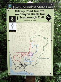
Fort Columbia trail map(jpg)
Google GeoTrack Maps Earth (.kmz) Nearby Pictures
Sat 04/17/10
 |
|
Columbia River south jetty access track pilings(jpg)
Google GeoTrack Maps Earth (.kmz) Nearby Pictures
Sat 09/06/08
 |
|
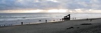
Peter Iredale(jpg)
Google GeoTrack Maps Earth (.kmz) Nearby Pictures
Thu 07/04/13
 |
|
Peter Iredale(jpg)
Google GeoTrack Maps Earth (.kmz) Nearby Pictures
Thu 07/04/13
 |
|
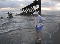
Angela at Peter Iredale(jpg)
Google GeoTrack Maps Earth (.kmz) Nearby Pictures
Thu 07/04/13
 |
|
Angela at Peter Iredale(jpg)
Google GeoTrack Maps Earth (.kmz) Nearby Pictures
Thu 07/04/13
 |
|
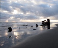
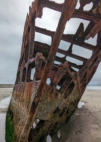
Peter Iredale(jpg)
Google GeoTrack Maps Earth (.kmz) Nearby Pictures
Mon 07/10/23
 |
|
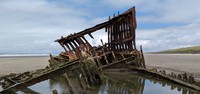
Peter Iredale(jpg)
Google GeoTrack Maps Earth (.kmz) Nearby Pictures
Mon 07/10/23
 |
|
Peter Iredale(jpg)
Google GeoTrack Maps Earth (.kmz) Nearby Pictures
Mon 07/10/23
 |
|
Angela near Columbia River south jetty(jpg)
Google GeoTrack Maps Earth (.kmz) Nearby Pictures
Sat 09/06/08
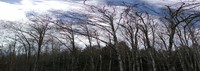
SE Washington trees(jpg)
Google GeoTrack Maps Earth (.kmz) Nearby Pictures
Thu 04/08/21
 |
|
SE Washington trees(jpg)
Google GeoTrack Maps Earth (.kmz) Nearby Pictures
Thu 04/08/21
 |
|
SE Washington trees(jpg)
Google GeoTrack Maps Earth (.kmz) Nearby Pictures
Thu 04/08/21
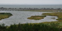
Columbia River south jetty(jpg)
Google GeoTrack Maps Earth (.kmz) Nearby Pictures
Sat 09/06/08
 |
|
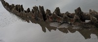
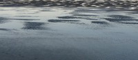
soft greymare at high tide(jpg)
Google GeoTrack Maps Earth (.kmz) Nearby Pictures
Sat 09/06/08
 |
|
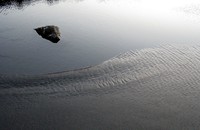
zen tide(jpg)
Google GeoTrack Maps Earth (.kmz) Nearby Pictures
Sun 09/28/08
 |
|
zen tide(jpg)
Google GeoTrack Maps Earth (.kmz) Nearby Pictures
Sun 09/28/08
 |
|
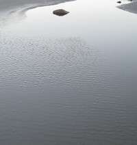
zen tide(jpg)
Google GeoTrack Maps Earth (.kmz) Nearby Pictures
Sun 09/28/08
 |
|
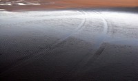
tracks in sand(jpg)
Google GeoTrack Maps Earth (.kmz) Nearby Pictures
Sun 09/28/08
 |
|
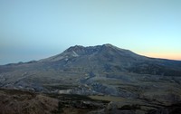
St Helens as the day goes down(jpg)
Google GeoTrack Maps Earth (.kmz) Nearby Pictures
Thu 09/15/16
 |
|
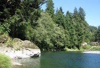
Wilson River Blue Hole(jpg)
Google GeoTrack Maps Earth (.kmz) Nearby Pictures
Sun 08/17/14
 |
|
under the tree(jpg)
Google GeoTrack Maps Earth (.kmz) Nearby Pictures
Thu 08/12/21
 |
|
sailing a warped world(jpg)
Google GeoTrack Maps Earth (.kmz) Nearby Pictures
Thu 11/05/20
 |
|
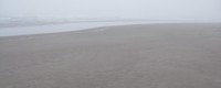
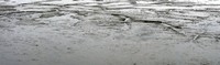
low tide(jpg)
Google GeoTrack Maps Earth (.kmz) Nearby Pictures
Thu 11/05/20
 |
|
Nehalem Oregon slough time avg(jpg)
Google GeoTrack Maps Earth (.kmz) Nearby Pictures
Mon 04/12/21
 |
|
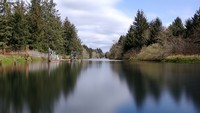
Nisqually water(jpg)
Google GeoTrack Maps Earth (.kmz) Nearby Pictures
Sun 07/17/22
 |
|
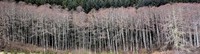
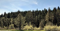
Willapa trees(jpg)
Google GeoTrack Maps Earth (.kmz) Nearby Pictures
Thu 08/12/21