 |
|
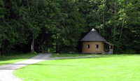
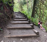
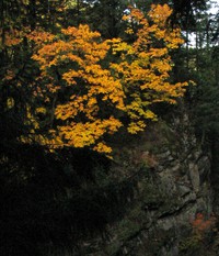
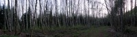
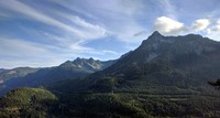
Valley Camp(jpg)
Google GeoTrack Maps Earth (.kmz) Nearby Pictures
Sat 06/25/11
 |
|
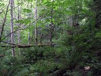
on a path below Mail Box Peak(jpg)
Google GeoTrack Maps Earth (.kmz) Nearby Pictures
Sat 06/25/11
 |
|
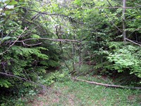
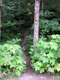
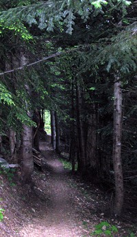
not a lot of trail(jpg)
Google GeoTrack Maps Earth (.kmz) Nearby Pictures
Sat 07/16/11
 |
|
end of the trail(jpg)
Google GeoTrack Maps Earth (.kmz) Nearby Pictures
Tue 06/28/11
 |
|
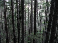
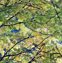
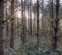
trees on Mail Box Peak trail(jpg)
Google GeoTrack Maps Earth (.kmz) Nearby Pictures
Tue 06/21/11
 |
|
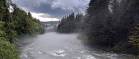
misty Middle Fork(jpg)
Google GeoTrack Maps Earth (.kmz) Nearby Pictures
Wed 06/10/20
 |
|
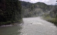
misty Middle Fork(jpg)
Google GeoTrack Maps Earth (.kmz) Nearby Pictures
Wed 06/10/20
 |
|
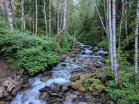
middle fork snoqualmie river rocks(jpg)
Google GeoTrack Maps Earth (.kmz) Nearby Pictures
Thu 05/13/10
paddlers on Middle Fork(jpg)
Google GeoTrack Maps Earth (.kmz) Nearby Pictures
Wed 06/10/20
 |
|
i90 hills at end of day(jpg)
Google GeoTrack Maps Earth (.kmz) Nearby Pictures
Sat 04/30/11
 |
|
fire training trees(jpg)
Google GeoTrack Maps Earth (.kmz) Nearby Pictures
Sat 04/30/11
 |
|
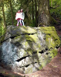
Olive and Zoey on Twin Falls trail(jpg)
Google GeoTrack Maps Earth (.kmz) Nearby Pictures
Fri 05/27/22
 |
|
lower twin falls pan(jpg)
Google GeoTrack Maps Earth (.kmz) Nearby Pictures
Fri 09/02/11
 |
|
way upper twin falls pan(jpg)
Google GeoTrack Maps Earth (.kmz) Nearby Pictures
Fri 09/02/11
above upper twin falls pan(jpg)
Google GeoTrack Maps Earth (.kmz) Nearby Pictures
Fri 09/02/11
 |
|
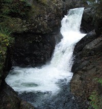
upper twin falls(jpg)
Google GeoTrack Maps Earth (.kmz) Nearby Pictures
Sat 10/25/08
 |
|
lava water(jpg)
Google GeoTrack Maps Earth (.kmz) Nearby Pictures
Sat 10/25/08
 |
|
above a water fall(jpg)
Google GeoTrack Maps Earth (.kmz) Nearby Pictures
Sat 10/25/08
 |
|
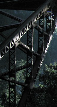
Twin Falls bridge(jpg)
Google GeoTrack Maps Earth (.kmz) Nearby Pictures
Fri 09/02/11
 |
|
fall leaves above the falls(jpg)
Google GeoTrack Maps Earth (.kmz) Nearby Pictures
Sat 10/25/08
 |
|
upper twin falls(jpg)
Google GeoTrack Maps Earth (.kmz) Nearby Pictures
Sat 10/25/08
 |
|
upper twin falls from the bridge(jpg)
Google GeoTrack Maps Earth (.kmz) Nearby Pictures
Sat 10/25/08
 |
|
Mt Washington trailhead(jpg)
Google GeoTrack Maps Earth (.kmz) Nearby Pictures
Sun 08/14/11
 |
|
Olive and Zoey on Twin Falls trail(jpg)
Google GeoTrack Maps Earth (.kmz) Nearby Pictures
Fri 05/27/22
 |
|
fall leaves still on the tree(jpg)
Google GeoTrack Maps Earth (.kmz) Nearby Pictures
Sat 10/25/08
 |
|
upper twin falls trail(jpg)
Google GeoTrack Maps Earth (.kmz) Nearby Pictures
Sat 10/25/08
 |
|
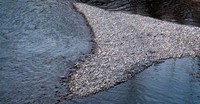
South Fork Snoqualmie river(jpg)
Google GeoTrack Maps Earth (.kmz) Nearby Pictures
Fri 05/27/22
 |
|
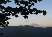
Rainier from new Mailbox Peak Trail(jpg)
Google GeoTrack Maps Earth (.kmz) Nearby Pictures
Fri 07/28/17
 |
|
Mt Rainier from Mail Box Peak(jpg)
Google GeoTrack Maps Earth (.kmz) Nearby Pictures
Tue 06/21/11
 |
|
Mail Box Peak dog(jpg)
Google GeoTrack Maps Earth (.kmz) Nearby Pictures
Tue 06/21/11
 |
|
iron horse trail leg(jpg)
Google GeoTrack Maps Earth (.kmz) Nearby Pictures
Sun 05/01/11
 |
|
Middle Fork Snoqualmie(jpg)
Google GeoTrack Maps Earth (.kmz) Nearby Pictures
Sun 03/15/20
 |
|
river in North Bend(jpg)
Google GeoTrack Maps Earth (.kmz) Nearby Pictures
Tue 03/30/21
 |
|
alders in north north bend(jpg)
Google GeoTrack Maps Earth (.kmz) Nearby Pictures
Sun 05/06/12
 |
|
glowing tree moss(jpg)
Google GeoTrack Maps Earth (.kmz) Nearby Pictures
Wed 03/31/21
 |
|
Talus Loop trail sign(jpg)
Google GeoTrack Maps Earth (.kmz) Nearby Pictures
Fri 05/13/16
 |
|
Granite Creek(jpg)
Google GeoTrack Maps Earth (.kmz) Nearby Pictures
Thu 06/22/17
 |
|
Mt Washington trail(jpg)
Google GeoTrack Maps Earth (.kmz) Nearby Pictures
Sun 08/14/11
 |
|
McClellan Butte from near Dirty Harrys Ledge(jpg)
Google GeoTrack Maps Earth (.kmz) Nearby Pictures
Wed 08/30/17
 |
|
Iron Horse trail fence(jpg)
Google GeoTrack Maps Earth (.kmz) Nearby Pictures
Sun 10/31/10