 |
|
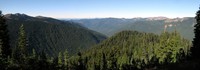
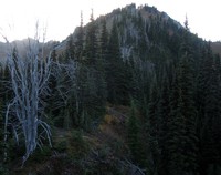
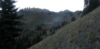
Sunrise loop ridge looking north east pano(jpg)
Google GeoTrack Maps Earth (.kmz) Nearby Pictures
Tue 09/22/15
 |
|
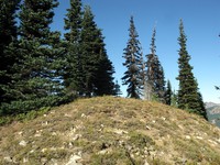
Sunrise loop ridge end(jpg)
Google GeoTrack Maps Earth (.kmz) Nearby Pictures
Tue 09/22/15
 |
|
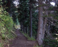
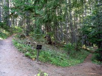
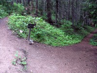
Sunrise Lake trail(jpg)
Google GeoTrack Maps Earth (.kmz) Nearby Pictures
Tue 09/22/15
 |
|
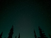
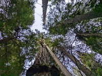
Big Dipper in trees(jpg)
Google GeoTrack Maps Earth (.kmz) Nearby Pictures
Sun 08/13/23
 |
|
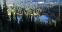
Sunrise Lake(jpg)
Google GeoTrack Maps Earth (.kmz) Nearby Pictures
Sat 08/13/11
 |
|
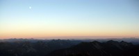
moon over the Cascades(jpg)
Google GeoTrack Maps Earth (.kmz) Nearby Pictures
Wed 09/23/15
 |
|
Clover Lake(jpg)
Google GeoTrack Maps Earth (.kmz) Nearby Pictures
Tue 09/22/15
 |
|
ridge above Clover Lake(jpg)
Google GeoTrack Maps Earth (.kmz) Nearby Pictures
Tue 09/22/15
 |
|
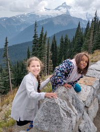
Zoey and Olive with little Tahoma(jpg)
Google GeoTrack Maps Earth (.kmz) Nearby Pictures
Sun 09/18/22
 |
|
moon over Palisades trees(jpg)
Google GeoTrack Maps Earth (.kmz) Nearby Pictures
Wed 09/23/15
 |
|
boonie running the ridge over Clover Lake(jpg)
Google GeoTrack Maps Earth (.kmz) Nearby Pictures
Tue 09/22/15
 |
|
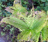
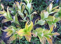
plants ending(jpg)
Google GeoTrack Maps Earth (.kmz) Nearby Pictures
Sat 09/06/14
 |
|
Sunrise Lake from Sourdough Trail(jpg)
Google GeoTrack Maps Earth (.kmz) Nearby Pictures
Sat 09/06/14
 |
|
sun in mossy trees(jpg)
Google GeoTrack Maps Earth (.kmz) Nearby Pictures
Sun 08/24/14
 |
|
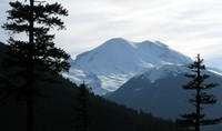
Mt Adams from Sunrise road(jpg)
Google GeoTrack Maps Earth (.kmz) Nearby Pictures
Sat 06/21/14
 |
|
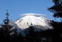
Mt Rainier under cloud(jpg)
Google GeoTrack Maps Earth (.kmz) Nearby Pictures
Sun 08/30/09
 |
|
Crystal Lakes Peak trail split(jpg)
Google GeoTrack Maps Earth (.kmz) Nearby Pictures
Sun 10/26/08
 |
|
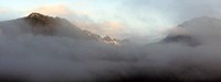
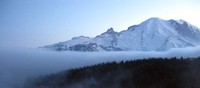
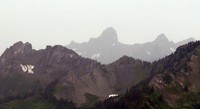
misty mountains(jpg)
Google GeoTrack Maps Earth (.kmz) Nearby Pictures
Sat 08/13/11
 |
|
Crystal Lake Peak trail split(jpg)
Google GeoTrack Maps Earth (.kmz) Nearby Pictures
Sun 08/24/14
 |
|
above the top(jpg)
Google GeoTrack Maps Earth (.kmz) Nearby Pictures
Sat 09/06/14
 |
|
Crystal Peak trail(jpg)
Google GeoTrack Maps Earth (.kmz) Nearby Pictures
Sun 08/24/14
 |
|
moon and mountain line from side of dege peak(jpg)
Google GeoTrack Maps Earth (.kmz) Nearby Pictures
Sat 09/06/14
 |
|
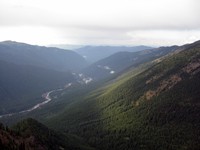
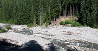
white river(jpg)
Google GeoTrack Maps Earth (.kmz) Nearby Pictures
Sun 05/17/09
 |
|
mt rainier(jpg)
Google GeoTrack Maps Earth (.kmz) Nearby Pictures
Sun 05/17/09
 |
|
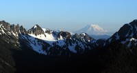
Mt Rainier from Slide Mt(jpg)
Google GeoTrack Maps Earth (.kmz) Nearby Pictures
Tue 09/01/20
 |
|
fog bank Rainier(jpg)
Google GeoTrack Maps Earth (.kmz) Nearby Pictures
Sat 08/13/11
 |
|
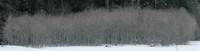
standing water(jpg)
Google GeoTrack Maps Earth (.kmz) Nearby Pictures
Fri 05/12/23
 |
|
copse(jpg)
Google GeoTrack Maps Earth (.kmz) Nearby Pictures
Wed 04/02/08
 |
|
plants ending(jpg)
Google GeoTrack Maps Earth (.kmz) Nearby Pictures
Sat 09/06/14
 |
|
Upper Crystal Lake shore(jpg)
Google GeoTrack Maps Earth (.kmz) Nearby Pictures
Sun 10/26/08
 |
|
north along White River from Crystal Peak(jpg)
Google GeoTrack Maps Earth (.kmz) Nearby Pictures
Sun 08/24/14
 |
|
Upper Crystal Lake from Peak(jpg)
Google GeoTrack Maps Earth (.kmz) Nearby Pictures
Sun 08/24/14
 |
|
Huckleberry Creek trees(jpg)
Google GeoTrack Maps Earth (.kmz) Nearby Pictures
Sat 09/27/14
 |
|
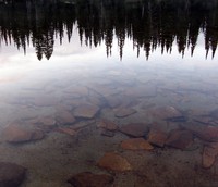
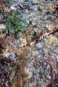
soft water(jpg)
Google GeoTrack Maps Earth (.kmz) Nearby Pictures
Thu 05/28/20
 |
|
Governors Ridge(jpg)
Google GeoTrack Maps Earth (.kmz) Nearby Pictures
Sun 08/13/23
 |
|
old bridge to nowhere(jpg)
Google GeoTrack Maps Earth (.kmz) Nearby Pictures
Sat 10/17/15
 |
|
far hills from Crystal Peak trail(jpg)
Google GeoTrack Maps Earth (.kmz) Nearby Pictures
Sun 08/24/14
 |
|
Rainier trees(jpg)
Google GeoTrack Maps Earth (.kmz) Nearby Pictures
Fri 05/12/23
 |
|
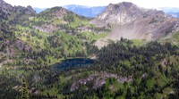
Buck Creek Lake(jpg)
Google GeoTrack Maps Earth (.kmz) Nearby Pictures
Sat 10/24/15
 |
|
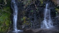
Frying Pan Creek in August(jpg)
Google GeoTrack Maps Earth (.kmz) Nearby Pictures
Sat 08/25/12