 |
|
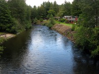
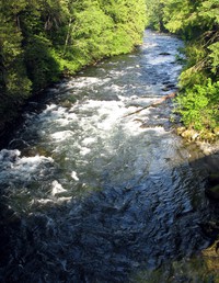
Riverbend upstream(jpg)
Google GeoTrack Maps Earth (.kmz) Nearby Pictures
Sat 06/25/16
 |
|
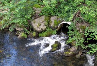
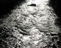
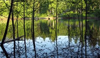
Riverbend drain(jpg)
Google GeoTrack Maps Earth (.kmz) Nearby Pictures
Sat 06/25/16
 |
|
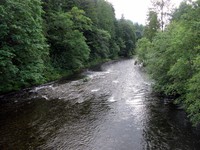
Riverbend downstream(jpg)
Google GeoTrack Maps Earth (.kmz) Nearby Pictures
Sat 06/25/16
 |
|
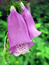
Riverbend flower(jpg)
Google GeoTrack Maps Earth (.kmz) Nearby Pictures
Sat 06/25/16
 |
|
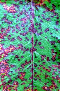
Riverbend leaf(jpg)
Google GeoTrack Maps Earth (.kmz) Nearby Pictures
Sat 06/25/16
 |
|
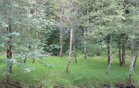
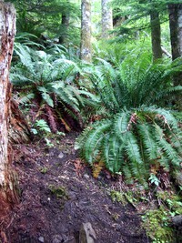
Riverbend trees and grass(jpg)
Google GeoTrack Maps Earth (.kmz) Nearby Pictures
Sat 06/25/16
 |
|
looking west at river from Snoqualmie River Trail(jpg)
Google GeoTrack Maps Earth (.kmz) Nearby Pictures
Sat 05/31/14
 |
|
looking east at river from Snoqualmie River Trail(jpg)
Google GeoTrack Maps Earth (.kmz) Nearby Pictures
Sat 05/31/14
 |
|
Tanner Hill(jpg)
Google GeoTrack Maps Earth (.kmz) Nearby Pictures
Mon 03/29/21
 |
|
Tanner Landing Park(jpg)
Google GeoTrack Maps Earth (.kmz) Nearby Pictures
Sun 06/01/14
 |
|
Tanner Landing Park(jpg)
Google GeoTrack Maps Earth (.kmz) Nearby Pictures
Sun 06/01/14
 |
|
Tanner Landing Park(jpg)
Google GeoTrack Maps Earth (.kmz) Nearby Pictures
Sun 06/01/14
 |
|
Tanner Landing Park(jpg)
Google GeoTrack Maps Earth (.kmz) Nearby Pictures
Sun 06/01/14
 |
|
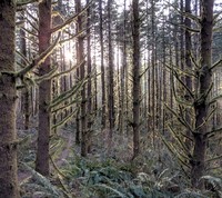
river rock forest(jpg)
Google GeoTrack Maps Earth (.kmz) Nearby Pictures
Tue 03/30/21
 |
|
river in North Bend(jpg)
Google GeoTrack Maps Earth (.kmz) Nearby Pictures
Tue 03/30/21
 |
|
river in North Bend(jpg)
Google GeoTrack Maps Earth (.kmz) Nearby Pictures
Tue 03/30/21
 |
|
Olive and Zoey at Rattlesnake Lake(jpg)
Google GeoTrack Maps Earth (.kmz) Nearby Pictures
Fri 08/12/22
 |
|
Mt Si Road bridge(jpg)
Google GeoTrack Maps Earth (.kmz) Nearby Pictures
Sun 06/01/14
 |
|
Rainbow Lake(jpg)
Google GeoTrack Maps Earth (.kmz) Nearby Pictures
Sat 05/31/14
 |
|
glowing tree moss(jpg)
Google GeoTrack Maps Earth (.kmz) Nearby Pictures
Wed 03/31/21
 |
|
North Bend ranger station sign(jpg)
Google GeoTrack Maps Earth (.kmz) Nearby Pictures
Tue 07/12/11
 |
|
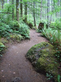
little si to mt si trail start(jpg)
Google GeoTrack Maps Earth (.kmz) Nearby Pictures
Sat 05/09/09
 |
|
Mt Si rock(jpg)
Google GeoTrack Maps Earth (.kmz) Nearby Pictures
Sun 05/29/16
 |
|
looking up at the hot trees(jpg)
Google GeoTrack Maps Earth (.kmz) Nearby Pictures
Sun 05/01/22
 |
|
cutoff to Mt Si trail from Little Si Timber trail(jpg)
Google GeoTrack Maps Earth (.kmz) Nearby Pictures
Sun 05/29/16
 |
|
Rattlesnake Ledge Trail(jpg)
Google GeoTrack Maps Earth (.kmz) Nearby Pictures
Sat 07/21/07
 |
|
Rattlesnake Ledge Trail north approach(jpg)
Google GeoTrack Maps Earth (.kmz) Nearby Pictures
Sat 07/21/07
 |
|
Rattlesnake Ledge Trail north approach(jpg)
Google GeoTrack Maps Earth (.kmz) Nearby Pictures
Sat 07/21/07
 |
|
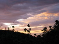
Iron Horse trail sunset(jpg)
Google GeoTrack Maps Earth (.kmz) Nearby Pictures
Sat 05/24/08
 |
|
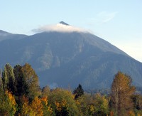
mt washington over the trees with cloud(jpg)
Google GeoTrack Maps Earth (.kmz) Nearby Pictures
Sat 10/25/08
 |
|
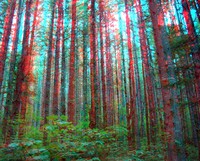
Rattlesnake Lake trail trees red cyan stereo(jpg)
Google GeoTrack Maps Earth (.kmz) Nearby Pictures
Sat 07/21/07
 |
|
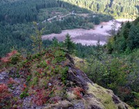
looking down from north approach to Rattlesnake Ledge(jpg)
Google GeoTrack Maps Earth (.kmz) Nearby Pictures
Sat 08/15/15
 |
|
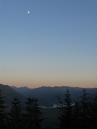
Rattlesnake Mountain moon(jpg)
Google GeoTrack Maps Earth (.kmz) Nearby Pictures
Sun 10/17/10
 |
|
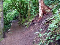
not a lot of trail(jpg)
Google GeoTrack Maps Earth (.kmz) Nearby Pictures
Sat 07/16/11
 |
|
old trail access to Rattlesnake Ridge(jpg)
Google GeoTrack Maps Earth (.kmz) Nearby Pictures
Sun 07/03/11
 |
|
Iron Horse trail fence(jpg)
Google GeoTrack Maps Earth (.kmz) Nearby Pictures
Sun 10/31/10
 |
|
sunset barn and tree(jpg)
Google GeoTrack Maps Earth (.kmz) Nearby Pictures
Sun 08/07/11
 |
|
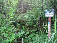
Talus Loop trail sign(jpg)
Google GeoTrack Maps Earth (.kmz) Nearby Pictures
Fri 05/13/16
 |
|
up through night trees mt si(jpg)
Google GeoTrack Maps Earth (.kmz) Nearby Pictures
Sat 05/09/09
 |
|
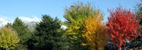
mt si with fall trees(jpg)
Google GeoTrack Maps Earth (.kmz) Nearby Pictures
Sat 10/25/08