 |
|
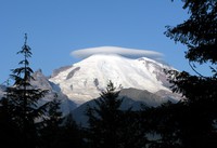
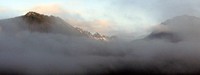
Mt Rainier under cloud(jpg)
Google GeoTrack Maps Earth (.kmz) Nearby Pictures
Sun 08/30/09
 |
|
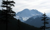
mt rainier(jpg)
Google GeoTrack Maps Earth (.kmz) Nearby Pictures
Sun 05/17/09
 |
|
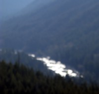
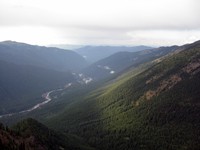
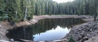
white river(jpg)
Google GeoTrack Maps Earth (.kmz) Nearby Pictures
Sun 05/17/09
 |
|
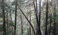
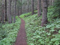
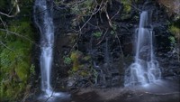
sun in mossy trees(jpg)
Google GeoTrack Maps Earth (.kmz) Nearby Pictures
Sun 08/24/14
 |
|
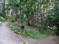
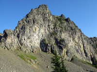
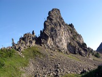
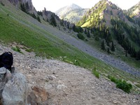
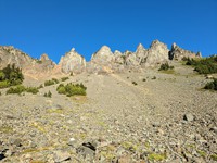
Crystal Peak trail(jpg)
Google GeoTrack Maps Earth (.kmz) Nearby Pictures
Sun 08/24/14
 |
|
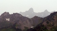
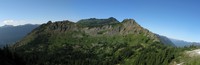
far hills from Crystal Peak trail(jpg)
Google GeoTrack Maps Earth (.kmz) Nearby Pictures
Sun 08/24/14
 |
|
Crystal Lakes Peak trail split(jpg)
Google GeoTrack Maps Earth (.kmz) Nearby Pictures
Sun 10/26/08
 |
|
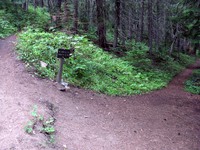
Crystal Lake Peak trail split(jpg)
Google GeoTrack Maps Earth (.kmz) Nearby Pictures
Sun 08/24/14
 |
|
north along White River from Crystal Peak(jpg)
Google GeoTrack Maps Earth (.kmz) Nearby Pictures
Sun 08/24/14
 |
|
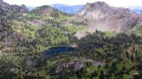
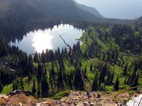
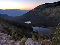
Upper Crystal Lake from Peak(jpg)
Google GeoTrack Maps Earth (.kmz) Nearby Pictures
Sun 08/24/14
 |
|
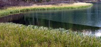
Upper Crystal Lake shore(jpg)
Google GeoTrack Maps Earth (.kmz) Nearby Pictures
Sun 10/26/08
 |
|
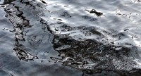
dead water reflections(jpg)
Google GeoTrack Maps Earth (.kmz) Nearby Pictures
Sun 10/26/08
 |
|
Upper Crystal Lake from above(jpg)
Google GeoTrack Maps Earth (.kmz) Nearby Pictures
Sun 07/26/09
 |
|
hill above Crystal Lake(jpg)
Google GeoTrack Maps Earth (.kmz) Nearby Pictures
Sun 07/26/09
 |
|
hill above Crystal Lake(jpg)
Google GeoTrack Maps Earth (.kmz) Nearby Pictures
Sun 07/26/09
 |
|
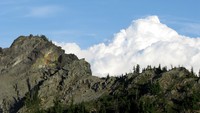
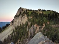
hill and cloud near Sourdough Gap(jpg)
Google GeoTrack Maps Earth (.kmz) Nearby Pictures
Sun 07/26/09
full moon rising(jpg)
Google GeoTrack Maps Earth (.kmz) Nearby Pictures
Sat 09/25/10
 |
|
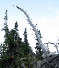
dead tree near Sourdough Gap(jpg)
Google GeoTrack Maps Earth (.kmz) Nearby Pictures
Sun 07/26/09
 |
|
between Crystal Lake and Chinook Pass(jpg)
Google GeoTrack Maps Earth (.kmz) Nearby Pictures
Sun 07/26/09
 |
|
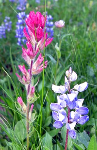
wildflowers near Sheep Lake(jpg)
Google GeoTrack Maps Earth (.kmz) Nearby Pictures
Sun 07/26/09
 |
|
wildflowers near Sheep Lake(jpg)
Google GeoTrack Maps Earth (.kmz) Nearby Pictures
Sun 07/26/09
 |
|
Deadwood Lakes(jpg)
Google GeoTrack Maps Earth (.kmz) Nearby Pictures
Tue 08/16/16
 |
|
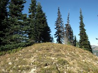
no name hill from the approachable side(jpg)
Google GeoTrack Maps Earth (.kmz) Nearby Pictures
Tue 08/16/16
 |
|
Sunrise loop ridge end(jpg)
Google GeoTrack Maps Earth (.kmz) Nearby Pictures
Tue 09/22/15
 |
|
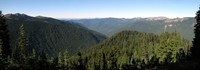
Sunrise loop ridge looking north east pano(jpg)
Google GeoTrack Maps Earth (.kmz) Nearby Pictures
Tue 09/22/15
 |
|
misty mountains(jpg)
Google GeoTrack Maps Earth (.kmz) Nearby Pictures
Sat 08/13/11
 |
|
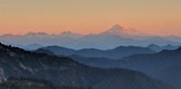
Mt Adams from above Chinook Pass(jpg)
Google GeoTrack Maps Earth (.kmz) Nearby Pictures
Tue 08/16/16
 |
|
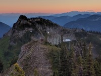
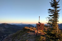
no name hill weather station in front of Yakima Peak at sunset(jpg)
Google GeoTrack Maps Earth (.kmz) Nearby Pictures
Tue 08/16/16
 |
|
the world from no name hill(jpg)
Google GeoTrack Maps Earth (.kmz) Nearby Pictures
Tue 08/16/16
 |
|
highway 410 from no name hill(jpg)
Google GeoTrack Maps Earth (.kmz) Nearby Pictures
Tue 08/16/16
 |
|
whats the weather from false no name hill(jpg)
Google GeoTrack Maps Earth (.kmz) Nearby Pictures
Tue 08/16/16
 |
|
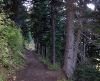
Sunrise Lake trail(jpg)
Google GeoTrack Maps Earth (.kmz) Nearby Pictures
Tue 09/22/15
 |
|
Governors Ridge(jpg)
Google GeoTrack Maps Earth (.kmz) Nearby Pictures
Sun 08/13/23
 |
|
standing water(jpg)
Google GeoTrack Maps Earth (.kmz) Nearby Pictures
Fri 05/12/23
 |
|
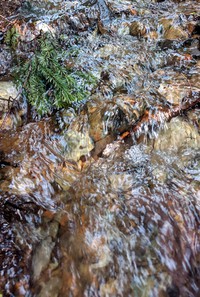
soft water(jpg)
Google GeoTrack Maps Earth (.kmz) Nearby Pictures
Thu 05/28/20
 |
|
mosquitos and Hen Skin Lake(jpg)
Google GeoTrack Maps Earth (.kmz) Nearby Pictures
Tue 07/28/20
 |
|
Ghost Lake in September(jpg)
Google GeoTrack Maps Earth (.kmz) Nearby Pictures
Mon 09/11/17
 |
|
from below yakima peak(jpg)
Google GeoTrack Maps Earth (.kmz) Nearby Pictures
Sat 07/27/13
 |
|
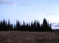
moon over Palisades trees(jpg)
Google GeoTrack Maps Earth (.kmz) Nearby Pictures
Wed 09/23/15
 |
|
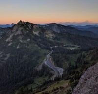
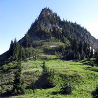
yakima peak(jpg)
Google GeoTrack Maps Earth (.kmz) Nearby Pictures
Sat 07/27/13