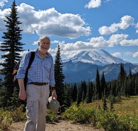
Mt Rainier from Shriner Peak(jpg)
Google GeoTrack Maps Earth (.kmz) Nearby Pictures
Sat 08/01/09
 |
|
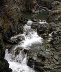
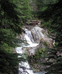
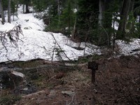
Stafford Falls(jpg)
Google GeoTrack Maps Earth (.kmz) Nearby Pictures
Sun 08/25/13
 |
|
Charlie spotting game(jpg)
Google GeoTrack Maps Earth (.kmz) Nearby Pictures
Sun 08/25/13
 |
|
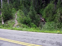
Eastside Trail bridge(jpg)
Google GeoTrack Maps Earth (.kmz) Nearby Pictures
Sun 08/25/13
 |
|
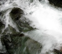
Eastside Trail falls(jpg)
Google GeoTrack Maps Earth (.kmz) Nearby Pictures
Sat 06/21/14
 |
|
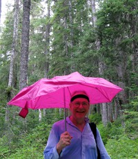
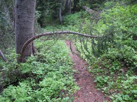
Alex roughing it on the Eastside Trail(jpg)
Google GeoTrack Maps Earth (.kmz) Nearby Pictures
Sun 08/25/13
 |
|
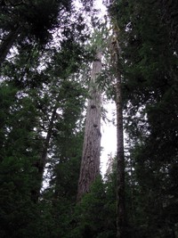
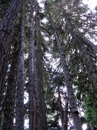
Eastside Trail trees(jpg)
Google GeoTrack Maps Earth (.kmz) Nearby Pictures
Sun 08/25/13
 |
|
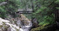
Eastside Trail best bridge and falls(jpg)
Google GeoTrack Maps Earth (.kmz) Nearby Pictures
Sun 08/25/13
 |
|
creek along Owyhigh Trail(jpg)
Google GeoTrack Maps Earth (.kmz) Nearby Pictures
Sun 07/13/14
 |
|
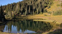
lake above Cayuse Pass(jpg)
Google GeoTrack Maps Earth (.kmz) Nearby Pictures
Sun 08/05/12
 |
|
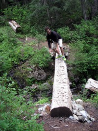
Charlie on a twister log(jpg)
Google GeoTrack Maps Earth (.kmz) Nearby Pictures
Sun 08/25/13
 |
|
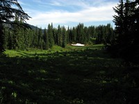
meadow above Cayuse Pass(jpg)
Google GeoTrack Maps Earth (.kmz) Nearby Pictures
Sun 08/05/12
 |
|
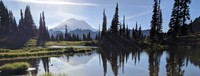
Rainier sun sky(jpg)
Google GeoTrack Maps Earth (.kmz) Nearby Pictures
Sun 08/05/12
 |
|
Chinook Pass pana(jpg)
Google GeoTrack Maps Earth (.kmz) Nearby Pictures
Sun 08/05/12
 |
|
east side trail switchback(jpg)
Google GeoTrack Maps Earth (.kmz) Nearby Pictures
Sun 08/05/12
 |
|
where east side trail crosses the road(jpg)
Google GeoTrack Maps Earth (.kmz) Nearby Pictures
Sun 08/05/12
 |
|
Cayuse Pass equipment(jpg)
Google GeoTrack Maps Earth (.kmz) Nearby Pictures
Sun 08/05/12
 |
|
Mount Rainier from Naches Peak trail(jpg)
Google GeoTrack Maps Earth (.kmz) Nearby Pictures
Fri 09/21/07
 |
|
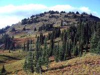
Naches Peak(jpg)
Google GeoTrack Maps Earth (.kmz) Nearby Pictures
Fri 09/21/07
 |
|
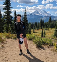
Alex and Rainier from Naches Loop(jpg)
Google GeoTrack Maps Earth (.kmz) Nearby Pictures
Sat 09/09/23
 |
|
Kat and Rainier from Naches Loop(jpg)
Google GeoTrack Maps Earth (.kmz) Nearby Pictures
Sat 09/09/23
 |
|
Cayuse Pass trees(jpg)
Google GeoTrack Maps Earth (.kmz) Nearby Pictures
Sun 08/05/12
 |
|
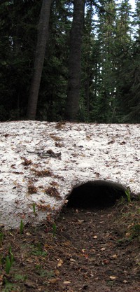
the tunnel is open(jpg)
Google GeoTrack Maps Earth (.kmz) Nearby Pictures
Sun 08/05/12
 |
|
the gate is closed(jpg)
Google GeoTrack Maps Earth (.kmz) Nearby Pictures
Sun 08/05/12
 |
|
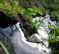
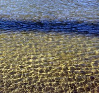
tiny stream near Cayuse and Chinook Passes(jpg)
Google GeoTrack Maps Earth (.kmz) Nearby Pictures
Sun 08/05/12
 |
|
Little Tipsoo with trees(jpg)
Google GeoTrack Maps Earth (.kmz) Nearby Pictures
Mon 09/06/21
 |
|
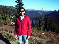
Heather in front of Dewey Lake(jpg)
Google GeoTrack Maps Earth (.kmz) Nearby Pictures
Fri 09/21/07
 |
|
Tipsoo into the glare of Rainier(jpg)
Google GeoTrack Maps Earth (.kmz) Nearby Pictures
Mon 09/06/21
 |
|
Tipsoo Lake ripples(jpg)
Google GeoTrack Maps Earth (.kmz) Nearby Pictures
Mon 09/06/21
 |
|
dead mountain wood snake(jpg)
Google GeoTrack Maps Earth (.kmz) Nearby Pictures
Sun 08/03/14
 |
|
Naches Peak(jpg)
Google GeoTrack Maps Earth (.kmz) Nearby Pictures
Sun 08/03/14
 |
|
dead mountain wood snake(jpg)
Google GeoTrack Maps Earth (.kmz) Nearby Pictures
Mon 09/06/21
 |
|
Silver Falls(jpg)
Google GeoTrack Maps Earth (.kmz) Nearby Pictures
Sat 06/21/14
 |
|
Mount Rainier from Cowlitz Divide(jpg)
Google GeoTrack Maps Earth (.kmz) Nearby Pictures
Sun 07/27/14
 |
|
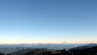
Mt Adams and moon from Frying Pan Gap(jpg)
Google GeoTrack Maps Earth (.kmz) Nearby Pictures
Sat 08/25/12
 |
|
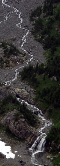
Wright Creek(jpg)
Google GeoTrack Maps Earth (.kmz) Nearby Pictures
Sun 07/13/14
 |
|
Cowlitz Divide trail Olallie Creek camp sign(jpg)
Google GeoTrack Maps Earth (.kmz) Nearby Pictures
Sat 06/15/13
 |
|
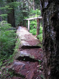
Cowlitz Divide trail log bridge(jpg)
Google GeoTrack Maps Earth (.kmz) Nearby Pictures
Sat 06/15/13
 |
|
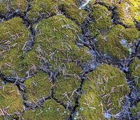
mossy pattern(jpg)
Google GeoTrack Maps Earth (.kmz) Nearby Pictures
Mon 09/06/21
 |
|
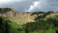
Governors Ridge(jpg)
Google GeoTrack Maps Earth (.kmz) Nearby Pictures
Sun 08/13/23