 |
|
Frying Pan Creek in August(jpg)
Google GeoTrack Maps Earth (.kmz) Nearby Pictures
Sat 08/25/12
 |
|
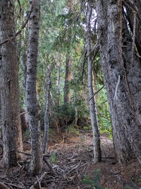
Frying Pan Creek thru the shute(jpg)
Google GeoTrack Maps Earth (.kmz) Nearby Pictures
Sat 08/25/12
 |
|
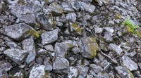
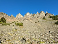
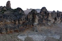
rock pattern(jpg)
Google GeoTrack Maps Earth (.kmz) Nearby Pictures
Sun 08/13/23
 |
|
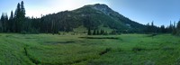
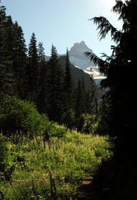
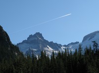
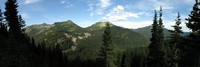
Mt Rainier from Tamanos Mountain(jpg)
Google GeoTrack Maps Earth (.kmz) Nearby Pictures
Sun 07/13/14
 |
|
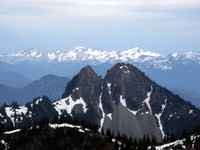
mountains behind Double Peak(jpg)
Google GeoTrack Maps Earth (.kmz) Nearby Pictures
Sun 07/13/14
 |
|
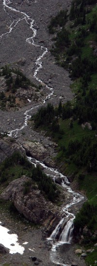
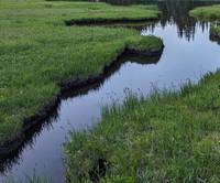
Wright Creek(jpg)
Google GeoTrack Maps Earth (.kmz) Nearby Pictures
Sun 07/13/14
 |
|
Wright Creek(jpg)
Google GeoTrack Maps Earth (.kmz) Nearby Pictures
Sun 07/13/14
 |
|
Frying Pan Creek Summerland trail(jpg)
Google GeoTrack Maps Earth (.kmz) Nearby Pictures
Sat 08/25/12
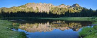
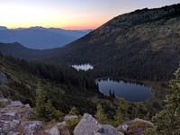
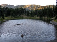
Owhigh Lakes pano(jpg)
Google GeoTrack Maps Earth (.kmz) Nearby Pictures
Sun 07/13/14
 |
|
Little Owhigh Lake(jpg)
Google GeoTrack Maps Earth (.kmz) Nearby Pictures
Sun 08/13/23
 |
|
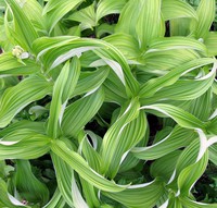
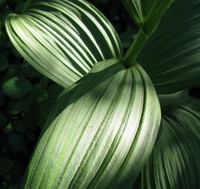
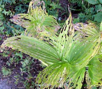
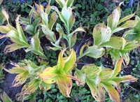
Owhigh Lake plant(jpg)
Google GeoTrack Maps Earth (.kmz) Nearby Pictures
Sun 07/13/14
 |
|
Owhigh Lake plant(jpg)
Google GeoTrack Maps Earth (.kmz) Nearby Pictures
Sun 07/13/14
 |
|
Governors Ridge behind Owhigh Lake(jpg)
Google GeoTrack Maps Earth (.kmz) Nearby Pictures
Sun 08/13/23
Owhigh Lake reeds(jpg)
Google GeoTrack Maps Earth (.kmz) Nearby Pictures
Sun 08/13/23
 |
|
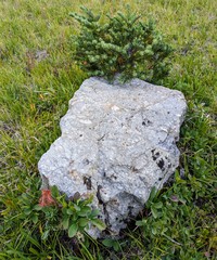
rock tree and green(jpg)
Google GeoTrack Maps Earth (.kmz) Nearby Pictures
Sun 08/13/23
 |
|
Owhigh Lake arm(jpg)
Google GeoTrack Maps Earth (.kmz) Nearby Pictures
Sun 08/13/23
 |
|
Tamanos Mountain(jpg)
Google GeoTrack Maps Earth (.kmz) Nearby Pictures
Sun 08/13/23
 |
|
In A Glade(jpg)
Google GeoTrack Maps Earth (.kmz) Nearby Pictures
Sun 08/13/23
 |
|
cloudy hill(jpg)
Google GeoTrack Maps Earth (.kmz) Nearby Pictures
Sun 08/26/12
 |
|
Governors Ridge(jpg)
Google GeoTrack Maps Earth (.kmz) Nearby Pictures
Sun 08/13/23
 |
|
on the last steps of the elusive Topcon(jpg)
Google GeoTrack Maps Earth (.kmz) Nearby Pictures
Sat 08/25/12
 |
|
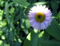
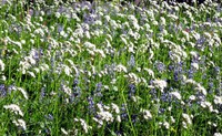
Summerland trail wildflower(jpg)
Google GeoTrack Maps Earth (.kmz) Nearby Pictures
Sat 08/25/12
 |
|
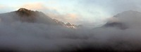
misty mountains(jpg)
Google GeoTrack Maps Earth (.kmz) Nearby Pictures
Sat 08/13/11
 |
|
Summerland trail(jpg)
Google GeoTrack Maps Earth (.kmz) Nearby Pictures
Sat 08/25/12
 |
|
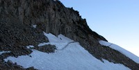
last bit of trail to Frying Pan Gap(jpg)
Google GeoTrack Maps Earth (.kmz) Nearby Pictures
Sat 08/25/12
 |
|
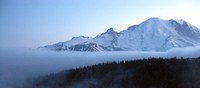
fog bank Rainier(jpg)
Google GeoTrack Maps Earth (.kmz) Nearby Pictures
Sat 08/13/11
 |
|
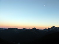
moon over the Cascades(jpg)
Google GeoTrack Maps Earth (.kmz) Nearby Pictures
Tue 09/22/15
 |
|
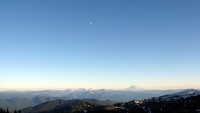
Mt Adams and moon from Frying Pan Gap(jpg)
Google GeoTrack Maps Earth (.kmz) Nearby Pictures
Sat 08/25/12
 |
|
Summerland trail wildflowers(jpg)
Google GeoTrack Maps Earth (.kmz) Nearby Pictures
Sat 08/25/12
 |
|
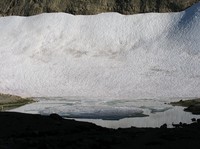
snow and lake below Frying Pan Gap(jpg)
Google GeoTrack Maps Earth (.kmz) Nearby Pictures
Sat 08/25/12
 |
|
Mt Jetdier(jpg)
Google GeoTrack Maps Earth (.kmz) Nearby Pictures
Sat 09/03/11
 |
|
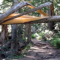
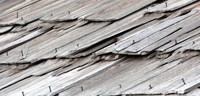
nailed roof pattern(jpg)
Google GeoTrack Maps Earth (.kmz) Nearby Pictures
Tue 09/22/15
 |
|
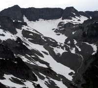
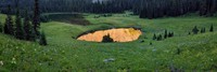
Deadwood Lakes(jpg)
Google GeoTrack Maps Earth (.kmz) Nearby Pictures
Tue 08/16/16
 |
|
plants ending(jpg)
Google GeoTrack Maps Earth (.kmz) Nearby Pictures
Sat 09/06/14
 |
|
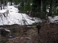
Cowlitz Divide trail Olallie Creek camp sign(jpg)
Google GeoTrack Maps Earth (.kmz) Nearby Pictures
Sat 06/15/13
 |
|
Chinook Pass pana(jpg)
Google GeoTrack Maps Earth (.kmz) Nearby Pictures
Sun 08/05/12
 |
|
white river(jpg)
Google GeoTrack Maps Earth (.kmz) Nearby Pictures
Sun 05/17/09
 |
|
Shadow Lake(jpg)
Google GeoTrack Maps Earth (.kmz) Nearby Pictures
Mon 09/08/08
 |
|
plants ending(jpg)
Google GeoTrack Maps Earth (.kmz) Nearby Pictures
Sat 09/06/14
 |
|
old Rainier wall(jpg)
Google GeoTrack Maps Earth (.kmz) Nearby Pictures
Sat 09/03/11