 |
|
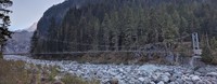
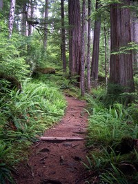
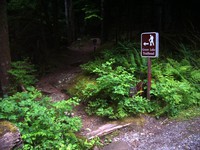
Carbon River Trail swinging bridge(jpg)
Google GeoTrack Maps Earth (.kmz) Nearby Pictures
Sun 10/16/22
 |
|
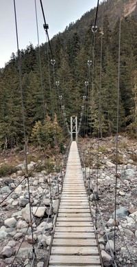
Carbon River Trail swinging bridge(jpg)
Google GeoTrack Maps Earth (.kmz) Nearby Pictures
Sun 10/16/22
 |
|
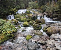
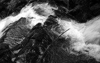
Carbon River Camp nearby creek(jpg)
Google GeoTrack Maps Earth (.kmz) Nearby Pictures
Sun 10/16/22
 |
|
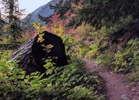
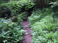
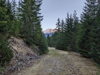
Carbon River Trail(jpg)
Google GeoTrack Maps Earth (.kmz) Nearby Pictures
Sun 10/16/22
 |
|
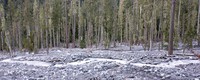
Carbon River clearing sticks(jpg)
Google GeoTrack Maps Earth (.kmz) Nearby Pictures
Sun 10/16/22
 |
|
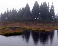
Spray Park pond and trees(jpg)
Google GeoTrack Maps Earth (.kmz) Nearby Pictures
Sat 09/05/15
 |
|
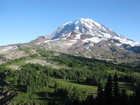
Rainier from Knapsack Pass Trail(jpg)
Google GeoTrack Maps Earth (.kmz) Nearby Pictures
Sun 08/25/19
 |
|
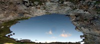
A Hole to the Sky(jpg)
Google GeoTrack Maps Earth (.kmz) Nearby Pictures
Sun 08/25/19
 |
|
Heather at Knapsack Pass(jpg)
Google GeoTrack Maps Earth (.kmz) Nearby Pictures
Sun 08/25/19
 |
|
Mowich Lake from Knapsack Pass Trail(jpg)
Google GeoTrack Maps Earth (.kmz) Nearby Pictures
Sun 08/25/19
 |
|
Spray Park pond and rock(jpg)
Google GeoTrack Maps Earth (.kmz) Nearby Pictures
Sat 09/05/15
 |
|
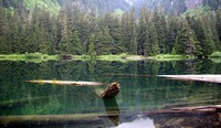
Green Lake(jpg)
Google GeoTrack Maps Earth (.kmz) Nearby Pictures
Sun 07/01/07
 |
|
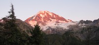
Rainier at sunset from Spray Park Trail(jpg)
Google GeoTrack Maps Earth (.kmz) Nearby Pictures
Sun 08/25/19
 |
|
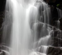
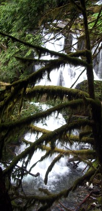
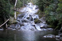
Ranger Falls(jpg)
Google GeoTrack Maps Earth (.kmz) Nearby Pictures
Sun 07/01/07
 |
|
Ranger Falls(jpg)
Google GeoTrack Maps Earth (.kmz) Nearby Pictures
Sun 07/01/07
 |
|
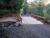
new bridge on way to Ipsut Creek(jpg)
Google GeoTrack Maps Earth (.kmz) Nearby Pictures
Sun 10/04/15
 |
|
Ranger Falls(jpg)
Google GeoTrack Maps Earth (.kmz) Nearby Pictures
Sun 07/01/07
 |
|
Ranger Falls(jpg)
Google GeoTrack Maps Earth (.kmz) Nearby Pictures
Sun 07/01/07
 |
|
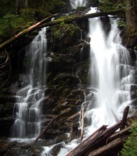
Chenuis Falls(jpg)
Google GeoTrack Maps Earth (.kmz) Nearby Pictures
Sun 10/04/15
 |
|
Chenuis Falls dry water(jpg)
Google GeoTrack Maps Earth (.kmz) Nearby Pictures
Sun 10/04/15
 |
|
Green Lake trail(jpg)
Google GeoTrack Maps Earth (.kmz) Nearby Pictures
Sun 07/01/07
 |
|
Green Lake trail(jpg)
Google GeoTrack Maps Earth (.kmz) Nearby Pictures
Sun 07/01/07
 |
|
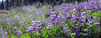
wildflowers at Eunice Lake(jpg)
Google GeoTrack Maps Earth (.kmz) Nearby Pictures
Wed 08/26/20
 |
|
Eunice Lake(jpg)
Google GeoTrack Maps Earth (.kmz) Nearby Pictures
Sat 10/11/08
 |
|
Green Lake trail(jpg)
Google GeoTrack Maps Earth (.kmz) Nearby Pictures
Sun 07/01/07
 |
|
Green Lake trailhead(jpg)
Google GeoTrack Maps Earth (.kmz) Nearby Pictures
Sun 07/01/07
 |
|
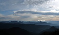
distant hills from Tolmie Peak(jpg)
Google GeoTrack Maps Earth (.kmz) Nearby Pictures
Sat 10/11/08
 |
|
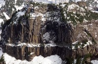
rock wall from Tolmie Peak(jpg)
Google GeoTrack Maps Earth (.kmz) Nearby Pictures
Sat 10/11/08
 |
|
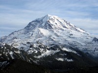
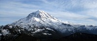
Mount Rainier from Tolmie Peak(jpg)
Google GeoTrack Maps Earth (.kmz) Nearby Pictures
Sat 10/11/08
 |
|
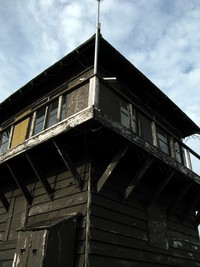
Tolmie Peak lookout(jpg)
Google GeoTrack Maps Earth (.kmz) Nearby Pictures
Sat 10/11/08
 |
|
Mount Rainier from Tolmie Peak(jpg)
Google GeoTrack Maps Earth (.kmz) Nearby Pictures
Sat 10/11/08
 |
|
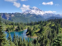
Mount Rainier and Eunice Lake(jpg)
Google GeoTrack Maps Earth (.kmz) Nearby Pictures
Wed 08/26/20
 |
|
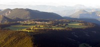
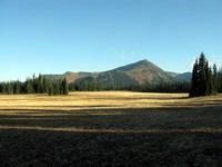
Grand Park(jpg)
Google GeoTrack Maps Earth (.kmz) Nearby Pictures
Sun 07/19/09
 |
|
Rainier from Pack Trail(jpg)
Google GeoTrack Maps Earth (.kmz) Nearby Pictures
Fri 08/11/23
 |
|
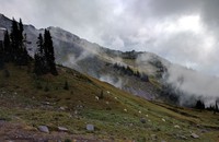
Misty Goats(jpg)
Google GeoTrack Maps Earth (.kmz) Nearby Pictures
Wed 09/21/16
 |
|
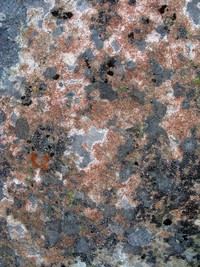
Bearhead Mountain rock pattern(jpg)
Google GeoTrack Maps Earth (.kmz) Nearby Pictures
Wed 09/30/15
 |
|
Mt Fremont lookout from Grand Park(jpg)
Google GeoTrack Maps Earth (.kmz) Nearby Pictures
Sat 09/12/15
 |
|
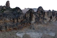
old Rainier wall(jpg)
Google GeoTrack Maps Earth (.kmz) Nearby Pictures
Sat 09/03/11
 |
|
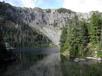
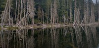
East Lake(jpg)
Google GeoTrack Maps Earth (.kmz) Nearby Pictures
Wed 09/16/20
 |
|
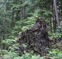
under the tree(jpg)
Google GeoTrack Maps Earth (.kmz) Nearby Pictures
Sun 07/01/07