 |
|
Capitol Gorge wall(jpg)
Google GeoTrack Maps Earth (.kmz) Nearby Pictures
Thu 10/03/19
 |
|
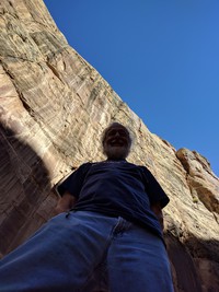
Alex enlightened in Capitol Gorge(jpg)
Google GeoTrack Maps Earth (.kmz) Nearby Pictures
Thu 10/03/19
 |
|
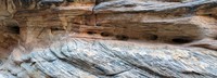
Capitol Gorge wall pattern(jpg)
Google GeoTrack Maps Earth (.kmz) Nearby Pictures
Thu 10/03/19
 |
|
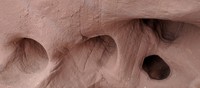
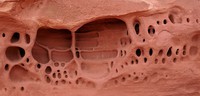
holes in Grand Wash wall(jpg)
Google GeoTrack Maps Earth (.kmz) Nearby Pictures
Thu 10/03/19
 |
|
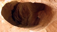
hole in the Grand Wash wall(jpg)
Google GeoTrack Maps Earth (.kmz) Nearby Pictures
Thu 10/03/19
 |
|
Alex in The Narrows Capitol Reef NP(jpg)
Google GeoTrack Maps Earth (.kmz) Nearby Pictures
Thu 10/03/19
 |
|
a reef peeks out(jpg)
Google GeoTrack Maps Earth (.kmz) Nearby Pictures
Thu 10/03/19
 |
|
a reef above the Fremont River(jpg)
Google GeoTrack Maps Earth (.kmz) Nearby Pictures
Thu 10/03/19
 |
|
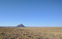
Factory Butte(jpg)
Google GeoTrack Maps Earth (.kmz) Nearby Pictures
Thu 10/03/19
 |
|
Long Canyon Buff Trail Road(jpg)
Google GeoTrack Maps Earth (.kmz) Nearby Pictures
Wed 10/02/19
 |
|
dead tree on Hells Backbone Road(jpg)
Google GeoTrack Maps Earth (.kmz) Nearby Pictures
Wed 10/02/19
 |
|
sprinklers near Cannonville Utah(jpg)
Google GeoTrack Maps Earth (.kmz) Nearby Pictures
Wed 10/02/19
 |
|
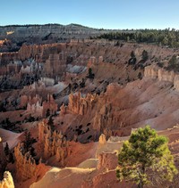
from Sunrise Point Bryce Canyon(jpg)
Google GeoTrack Maps Earth (.kmz) Nearby Pictures
Mon 09/30/19
 |
|
looking down Navaho Loop Trail Bryce Canyon(jpg)
Google GeoTrack Maps Earth (.kmz) Nearby Pictures
Tue 10/01/19
 |
|
from Sunset Point in Bryce NP(jpg)
Google GeoTrack Maps Earth (.kmz) Nearby Pictures
Mon 09/30/19
 |
|
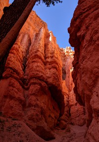
looking up Navaho Loop Trail Bryce Canyon(jpg)
Google GeoTrack Maps Earth (.kmz) Nearby Pictures
Tue 10/01/19
 |
|
from rim trail Sunset Point Bryce Canyon(jpg)
Google GeoTrack Maps Earth (.kmz) Nearby Pictures
Mon 09/30/19
 |
|
tree on rim trail Sunset Point Bryce Canyon(jpg)
Google GeoTrack Maps Earth (.kmz) Nearby Pictures
Mon 09/30/19
 |
|
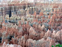
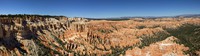
from Bryce Point(jpg)
Google GeoTrack Maps Earth (.kmz) Nearby Pictures
Tue 10/01/19
 |
|
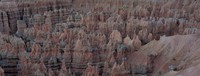
from Bryce Point(jpg)
Google GeoTrack Maps Earth (.kmz) Nearby Pictures
Tue 10/01/19
 |
|
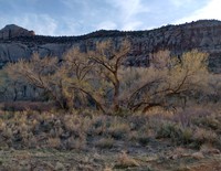
knarly tree(jpg)
Google GeoTrack Maps Earth (.kmz) Nearby Pictures
Thu 04/22/21
 |
|
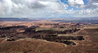
Island in the Sky(jpg)
Google GeoTrack Maps Earth (.kmz) Nearby Pictures
Thu 04/22/21
 |
|
Grand View tree(jpg)
Google GeoTrack Maps Earth (.kmz) Nearby Pictures
Thu 04/22/21
 |
|
tiny dwelling(jpg)
Google GeoTrack Maps Earth (.kmz) Nearby Pictures
Thu 04/22/21
 |
|
from Grand View Point Overlook(jpg)
Google GeoTrack Maps Earth (.kmz) Nearby Pictures
Thu 04/22/21
 |
|
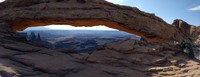
Mesa Arch(jpg)
Google GeoTrack Maps Earth (.kmz) Nearby Pictures
Thu 04/22/21
 |
|
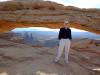
Alex at Mesa Arch(jpg)
Google GeoTrack Maps Earth (.kmz) Nearby Pictures
Thu 04/22/21
 |
|
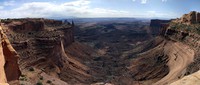
vista from near Mesa Arch(jpg)
Google GeoTrack Maps Earth (.kmz) Nearby Pictures
Thu 04/22/21
 |
|
Elephant Hill Road parking lot(jpg)
Google GeoTrack Maps Earth (.kmz) Nearby Pictures
Tue 04/20/21
 |
|
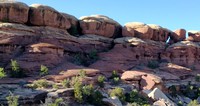
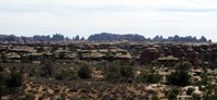
The Needles(jpg)
Google GeoTrack Maps Earth (.kmz) Nearby Pictures
Tue 04/20/21
 |
|
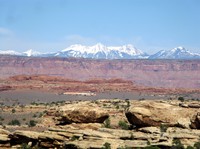
LaSal Mountains from Slickrock Trail(jpg)
Google GeoTrack Maps Earth (.kmz) Nearby Pictures
Tue 04/20/21
 |
|
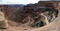
Shafer Trail road from the neck(jpg)
Google GeoTrack Maps Earth (.kmz) Nearby Pictures
Thu 04/22/21
 |
|
Glen Canyon Dam power lines(jpg)
Google Maps Earth (.kmz) Nearby Pictures
Mon 04/19/21
 |
|
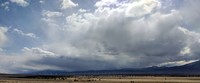
desert hills(jpg)
Google Maps Earth (.kmz) Nearby Pictures
Fri 04/16/21
 |
|
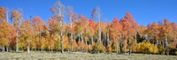
Red Canyon trees(jpg)
Google Maps Earth (.kmz) Nearby Pictures
Sun 04/25/21
 |
|
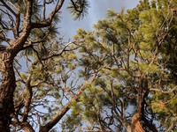
trees east of Cedar Breaks Nat Mon(jpg)
Google Maps Earth (.kmz) Nearby Pictures
Mon 09/30/19
 |
|
Double O Arch bottom(jpg)
Google GeoTrack Maps Earth (.kmz) Nearby Pictures
Fri 04/23/21
 |
|
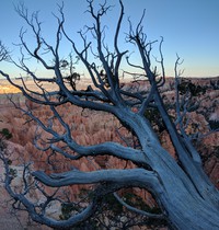
glowing tree(jpg)
Google GeoTrack Maps Earth (.kmz) Nearby Pictures
Tue 04/20/21
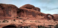
Cave Spring(jpg)
Google GeoTrack Maps Earth (.kmz) Nearby Pictures
Tue 04/20/21
 |
|
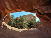
Corona Arch context(jpg)
Google GeoTrack Maps Earth (.kmz) Nearby Pictures
Wed 04/21/21